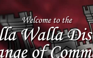
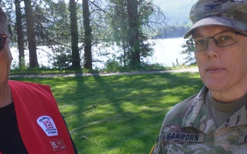
The U.S. Army Corps of Engineers, Walla Walla District, hosts a Change of Command ceremony, where Lt. Col. Katie Werback relinquished command to Lt. Col. Douglas D. Droesch, July 15, 2026.
Werback, a native of San Jose, California, has led the district during the last two years during a transformative phase in the U.S. Army Corps of Engineers. Droesch, a native of West Boylston, Massachusetts, is joining the district after serving as Infrastructure, Storage, and Supply Branch Head at NATO's Allied Joint For Command - Naples. The ceremony represents the formal transfer of authority and responsibility for the district's mission, personnel, and resources.
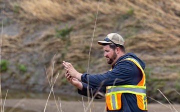
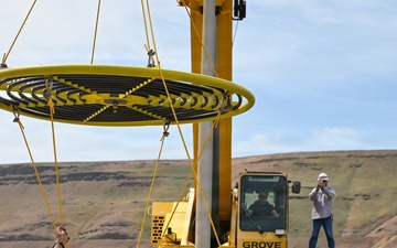
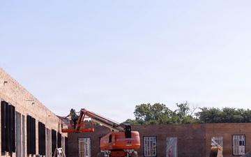
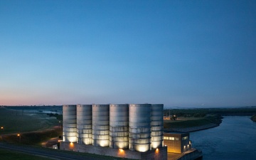
The Walla Walla District constructs, operates, maintains, and secures...
Taken: 07.15.2026 | Video by Marcy Sanchez