
 Subscribe
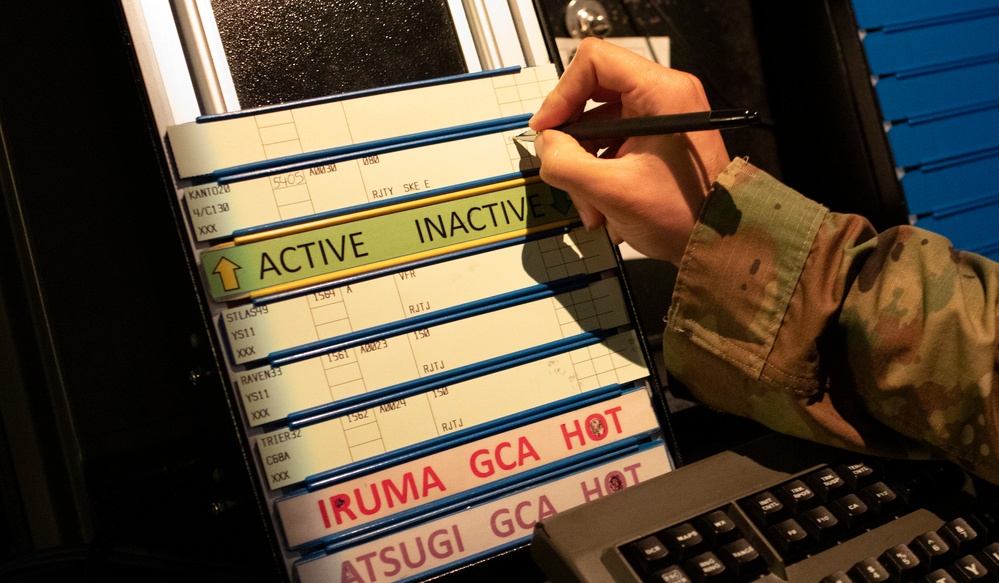
An Airman with the 374th Operations Support Squadron radar approach control air traffic control marks a flight progress strip, June 11, 2020 at Yokota Air Base, Japan. Yokota's radar approach control section provides air traffic control service to military and civilian aircraft operating in Kanto Plain, Tokyo, and Yokota AB. (U.S. Air Force photo by Yasuo Osakabe)
| Date Taken: | 06.11.2020 |
| Date Posted: | 06.14.2020 22:07 |
| Photo ID: | 6240965 |
| VIRIN: | 200611-F-PM645-4367 |
| Resolution: | 3600x2100 |
| Size: | 6.57 MB |
| Location: | YOKOTA AIR BASE, TOKYO, JP |
| Web Views: | 54 |
| Downloads: | 17 |

This work, Yokota ATC: Control Sky Highway [Image 15 of 15], by Yasuo Osakabe, identified by DVIDS, must comply with the restrictions shown on https://www.dvidshub.net/about/copyright.


No keywords found.




