The Tulsa District, U.S. Army Corps of Engineers is celebrating National Intern Day, July 30, 2026.
Tulsa District is highlighting the next generation of talent to build and maintain the Nation’s Infrastructure.
The Tulsa District’s student interns have spent their summer bringing fresh perspectives, academic expertise, and dedication to the district.
Internships provide students with the opportunity to practically apply skills they have learned through formal education, shadow USACE engineers, and gain real world experience while being part of a team that addresses the Nation’s toughest infrastructure challenges.
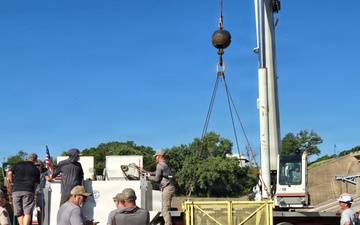
Joseph Neves is assigned to the Tulsa District Resident Office, where he’s supporting construction efforts on...
Edwar Santiago, student intern, Tulsa District, U.S. Army Corps of Engineers pauses for a photo while reviewing engineering data and documents at the Tulsa District Office in Oklahoma, July 29, 2026. Santiago is assigned to the Tulsa District Infrastructure Section where he's supported stilling basin inspections, shadowed engineers and learned conducted facture critical analysis on USACE infrastructure components. Santiago is a senior at Oklahoma State University where he is majoring in Civil Engineering.
Today, we celebrate World Range rDay and recognize the park rangers who protect public lands, support visitors and help us care for the lakes and recreation areas we all enjoy.
r
Copyright notice, this video contains music licensed to us via Megatrax.