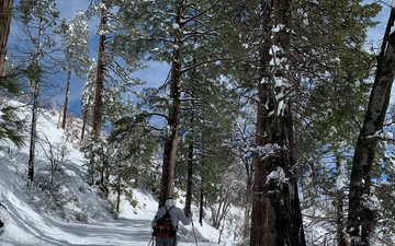
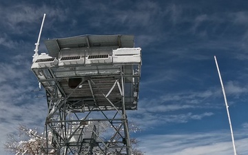
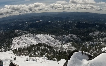
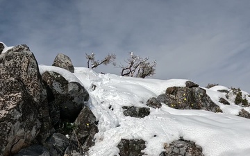
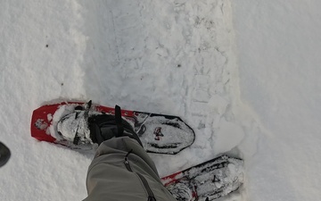
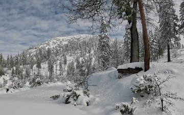
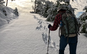
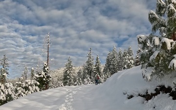
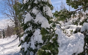
Video of day hikers, or Peak Baggers, snowshoeing through deep snow to reach 6,008-foot Pilot Peak on the Stanislaus National Forest, Pacific Southwest Region, USDA Forest Service, March 15, 2025. In winter, it is a 6.3 mile round-trip hike to the fire lookout tower. (USDA Forest Service video by Paul Wade)
Fire behavior modeling datasets provide the foundation for calculating risk across landscapes. The Rocky Mountain Research Station produces national datasets like this map of burn probability that can be used in the RiskMonitor process.