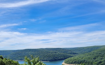
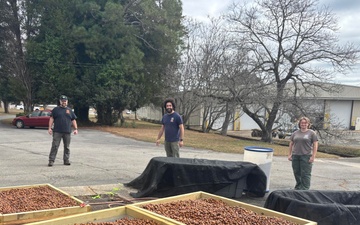
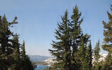
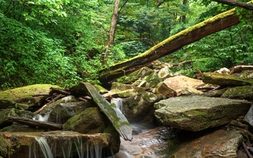
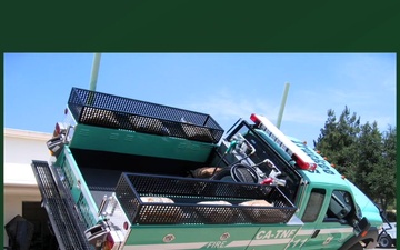
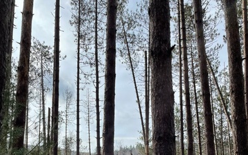
Aerial footage of Lassen National Forest shows forests, burned forests, burn scar, Hat Creek, fuels reduction projects and forested landscapes, near Burney, Ca. (USDA Forest Service video by Grant Olin)
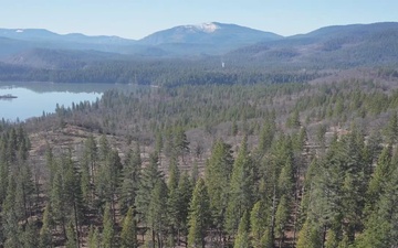
Fire behavior modeling datasets provide the foundation for calculating risk across landscapes. The Rocky Mountain Research Station produces national datasets like this map of burn probability that can be used in the RiskMonitor process.