
 Subscribe
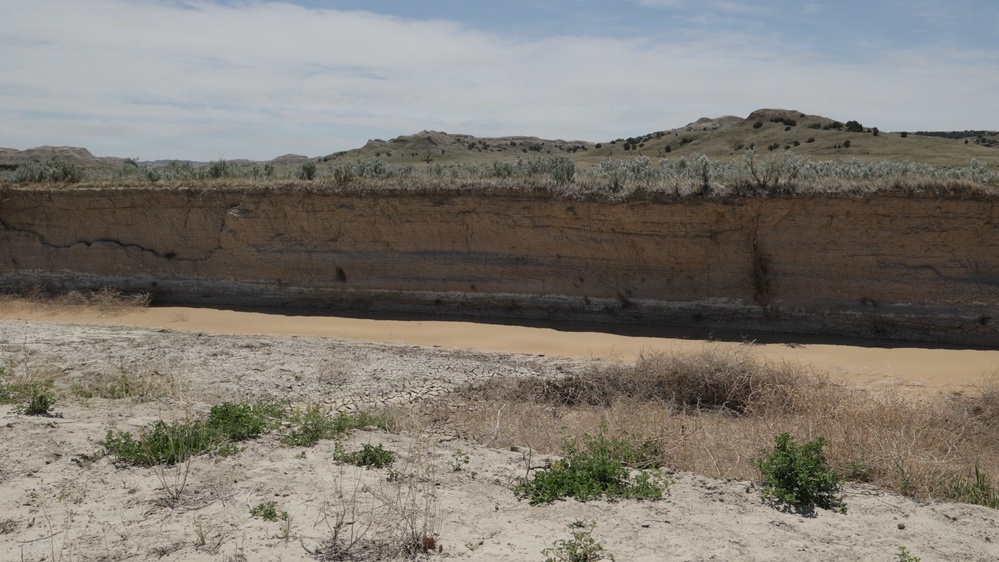
Canyon-like erosion features are visible in the Indian Creek area of Buffalo Gap National Grassland, South Dakota, May 15, 2026. The layers of rocky, clay-rich soil are easily worn down by water and wind, as shown in this image of a tributary watershed of the Cheyenne River. (Forest Service photo by Charity Duggin)
| Date Taken: | 05.15.2026 |
| Date Posted: | 08.26.2026 15:24 |
| Photo ID: | 9888236 |
| VIRIN: | 260515-P-NT240-1497 |
| Resolution: | 3840x2160 |
| Size: | 2 MB |
| Location: | SOUTH DAKOTA, US |
| Web Views: | 11 |
| Downloads: | 1 |

This work, Buffalo Gap National Grassland [Image 26 of 26], by Charity Duggin, identified by DVIDS, must comply with the restrictions shown on https://www.dvidshub.net/about/copyright.


No keywords found.




