
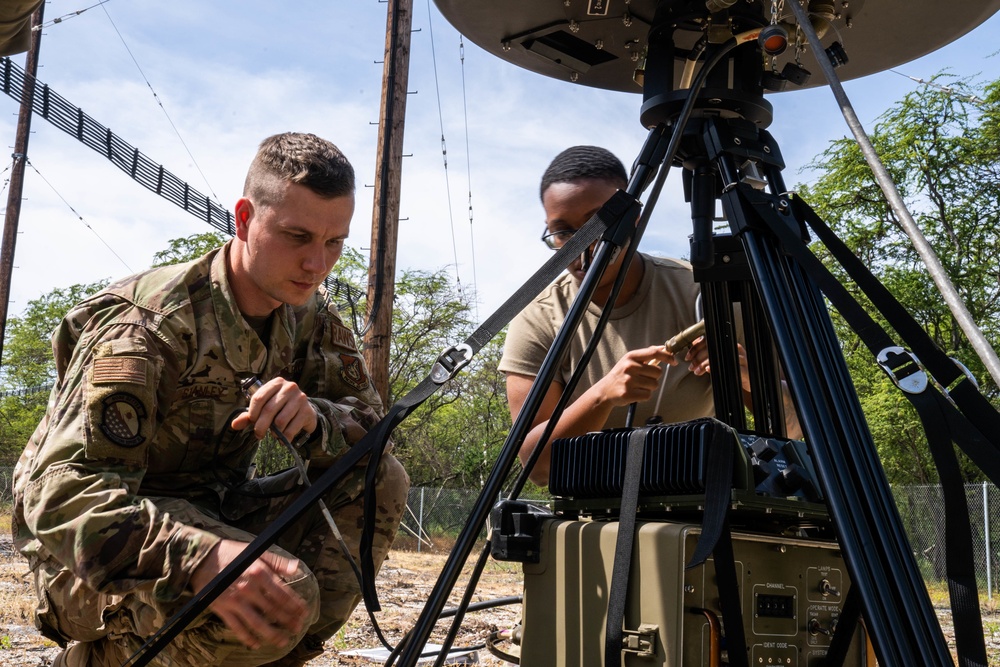
Senior Airman Troy Stanley, 15th Operation Support Squadron Radar, Airfield and Weather Systems Shop, connects the azimuth monitor to the Tactical Navigation System for a training exercise at Joint Base Pearl Harbor-Hickam, Hawaii, March 15, 2022. The TACAN is a radio air-navigation system that provides aircrew distance information as a guide to show their geographical location and is usually used by combat controllers in remote airfields. (U.S. Air Force photo by Airman 1st Class Makensie Cooper)
| Date Taken: | 03.15.2022 |
| Date Posted: | 04.13.2022 17:48 |
| Photo ID: | 7142044 |
| VIRIN: | 220315-F-GM429-0004 |
| Resolution: | 5261x3507 |
| Size: | 1.85 MB |
| Location: | HAWAII, US |
| Web Views: | 75 |
| Downloads: | 11 |

This work, Safety through radio [Image 4 of 4], by SrA Makensie Cooper, identified by DVIDS, must comply with the restrictions shown on https://www.dvidshub.net/about/copyright.


No keywords found.





