
 Subscribe
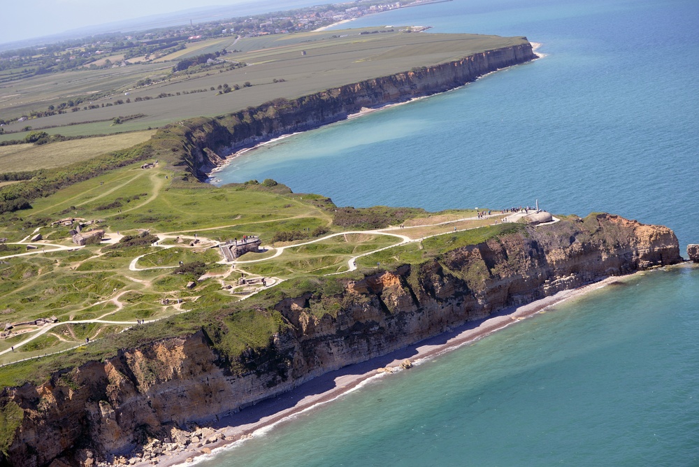
An aerial perspective of Pointe du Hoc in Normandy, France, June 7, 2015, after the MC-130J Commando II aircrew from the 67th Special Operations Squadron dropped more than 60 U.S. Special Operations Command – Europe operators over the historic La Fiere drop zone outside of Sainte Mere Eglise, to commemorate the 71st anniversary of the D-Day landings. Pointe du Hoc looked down on Utah Beach to the left and Omaha Beach to the right. and was a highly fortified German post during World War II. (U.S. Air Force photo by Tech. Sgt. Stacia Zachary)
| Date Taken: | 06.07.2015 |
| Date Posted: | 06.10.2015 14:14 |
| Photo ID: | 1989650 |
| VIRIN: | 150607-F-TJ954-162 |
| Resolution: | 6016x4016 |
| Size: | 3.88 MB |
| Location: | NORMANDY, FR |
| Web Views: | 290 |
| Downloads: | 18 |

This work, D-Day revisited: An aerial perspective [Image 6 of 6], by Stacia Zachary, identified by DVIDS, must comply with the restrictions shown on https://www.dvidshub.net/about/copyright.


D-Day revisited: An aerial perspective
No keywords found.




