
 Subscribe
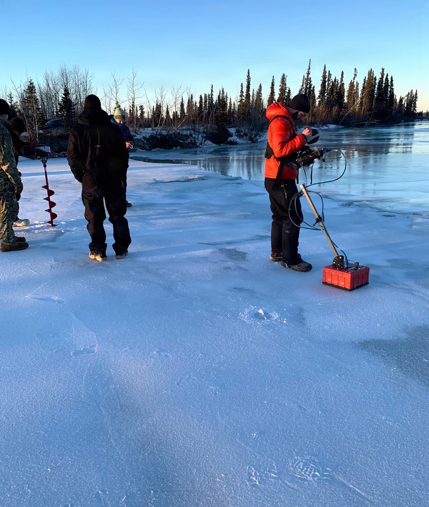
Ground-penetrating radar (GPR) antenna being used to conduct ice thickness tests on Alaska’s Delta River. Ice bridges play a pivotal role in mission success, but they also carry significant challenges. The proper siting, design, monitoring, and operation of ice bridges are essential to reducing potential environmental impacts and mitigating severe risks to both personnel and heavy military equipment.(Photo by Jenna Williams, CRREL.)
| Date Taken: | 09.16.2026 |
| Date Posted: | 09.17.2026 17:10 |
| Photo ID: | 9945486 |
| VIRIN: | 260916-D-A1403-8358 |
| Resolution: | 863x1018 |
| Size: | 299.1 KB |
| Location: | US |
| Web Views: | 4 |
| Downloads: | 0 |

This work, Navigating the Frozen Frontier: Standardizing Ice Bridge Operations for Military Maneuvers [Image 3 of 3], must comply with the restrictions shown on https://www.dvidshub.net/about/copyright.


Navigating the Frozen Frontier: Standardizing Ice Bridge Operations for Military Maneuvers
No keywords found.




