
 Subscribe
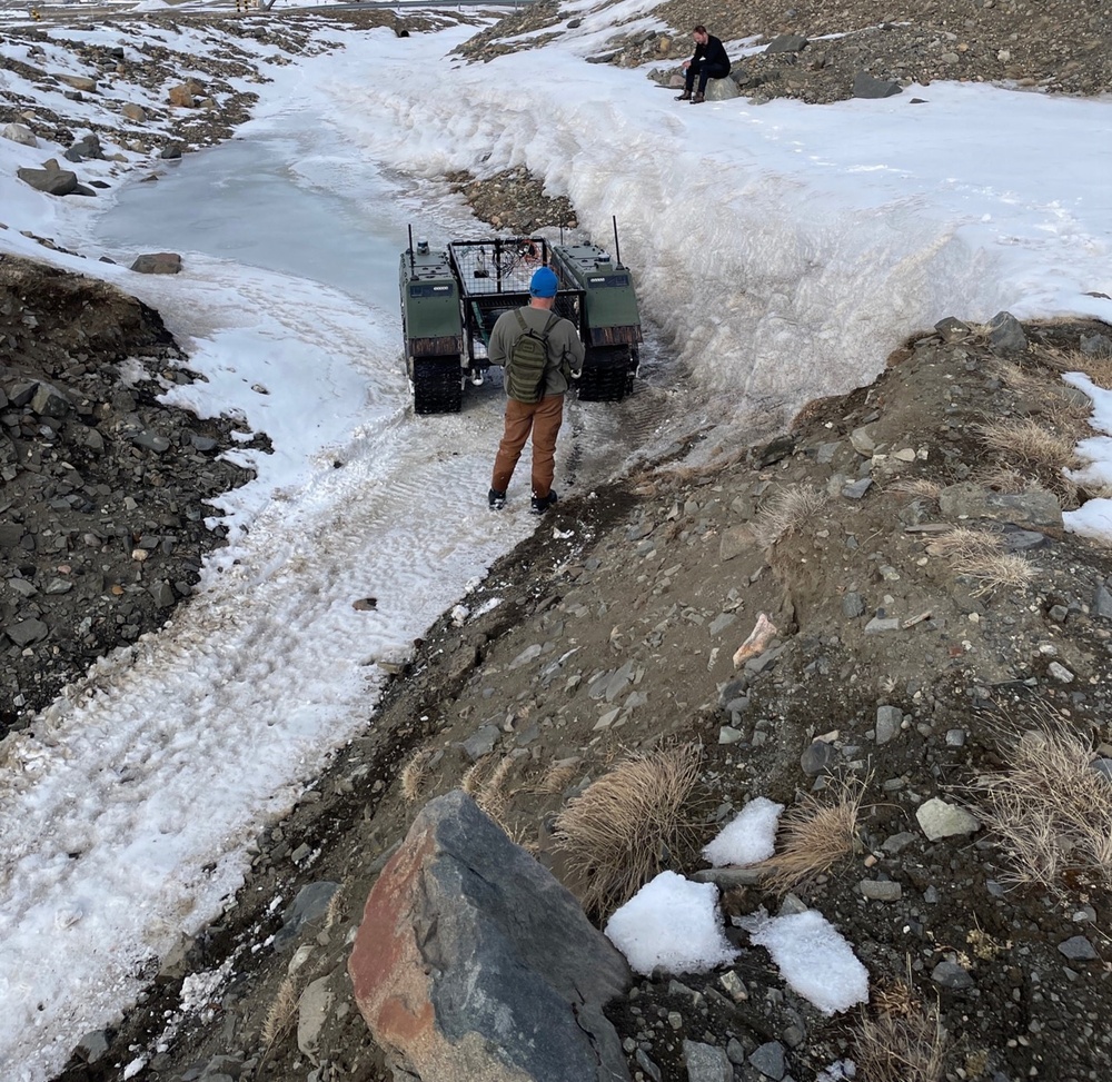
A CRREL researcher monitoring movement of a THeMIS (Tracked Hybrid Modular Infantry System) UGV through mixed terrain conditions. The CRREL research team flew a high-resolution LiDAR that aided THeMIS path planning and validated current winter path planning algorithms.
| Date Taken: | 08.17.2026 |
| Date Posted: | 08.24.2026 11:00 |
| Photo ID: | 9873288 |
| VIRIN: | 260817-A-PM693-4863 |
| Resolution: | 1430x1392 |
| Size: | 772 KB |
| Location: | GL |
| Web Views: | 4 |
| Downloads: | 0 |

This work, CRREL team tests ship-to-shore methods and technologies in Greenland [Image 4 of 4], by Justin Campfield, identified by DVIDS, must comply with the restrictions shown on https://www.dvidshub.net/about/copyright.


CRREL team tests ship-to-shore methods and technologies in Greenland
No keywords found.




