
 Subscribe
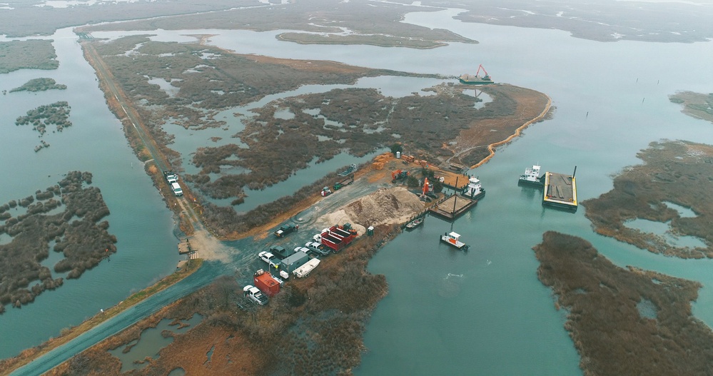
An aerial view shows dredged material from the Wicomico River being placed at the Deal Island Wildlife
Management Area in Somerset County, Md., during the project's dredging cycle. The U.S. Army Corps of
Engineers, Baltimore District, partnered with Wicomico County and the Maryland Department of Natural
Resources to beneficially reuse the material to restore degraded tidal wetlands. (Courtesy photo)
| Date Taken: | 07.14.2026 |
| Date Posted: | 07.14.2026 12:02 |
| Photo ID: | 9809823 |
| VIRIN: | 260709-A-CT696-2010 |
| Resolution: | 4096x2160 |
| Size: | 2.28 MB |
| Location: | DEAL, MARYLAND, US |
| Web Views: | 48 |
| Downloads: | 7 |

This work, Early Look at Deal Island Wildlife Management Area [Image 8 of 8], by Jeremy Todd, identified by DVIDS, must comply with the restrictions shown on https://www.dvidshub.net/about/copyright.


No keywords found.




