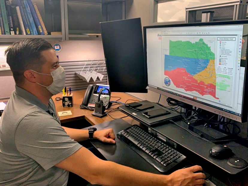
Geospatial Data Manager Wesley Street puts the finishing touches on the latest Tulsa District boundary map. This map will be utilized by district employees as well as the public.
| Date Taken: | 11.17.2021 |
| Date Posted: | 11.19.2021 12:26 |
| Photo ID: | 6947818 |
| VIRIN: | 211117-A-MW145-0002 |
| Resolution: | 828x621 |
| Size: | 381.07 KB |
| Location: | TULSA, OKLAHOMA, US |
| Web Views: | 70 |
| Downloads: | 3 |

This work, Tulsa District GIS section supports multiple district missions [Image 2 of 2], by Stacey Reese, identified by DVIDS, must comply with the restrictions shown on https://www.dvidshub.net/about/copyright.