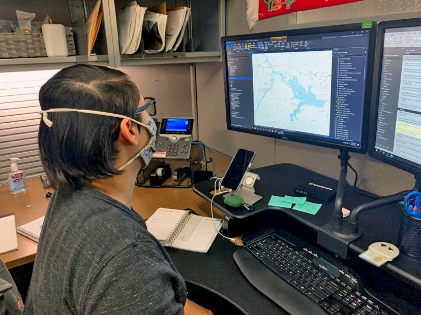
Geospatial Analyst Meredith Summers plots key points using the National Bridge inventory in order to assign data to the hydrolics and hydrology branch for use in flooding emergencies. Having this data at hand helps the group make informed decisions in a short amount of time.
| Date Taken: | 11.17.2021 |
| Date Posted: | 11.19.2021 12:26 |
| Photo ID: | 6947817 |
| VIRIN: | 211117-A-MW145-0001 |
| Resolution: | 828x621 |
| Size: | 398.4 KB |
| Location: | TULSA, OKLAHOMA, US |
| Web Views: | 80 |
| Downloads: | 3 |

This work, Tulsa District GIS section supports multiple district missions [Image 2 of 2], by Stacey Reese, identified by DVIDS, must comply with the restrictions shown on https://www.dvidshub.net/about/copyright.