
 Subscribe
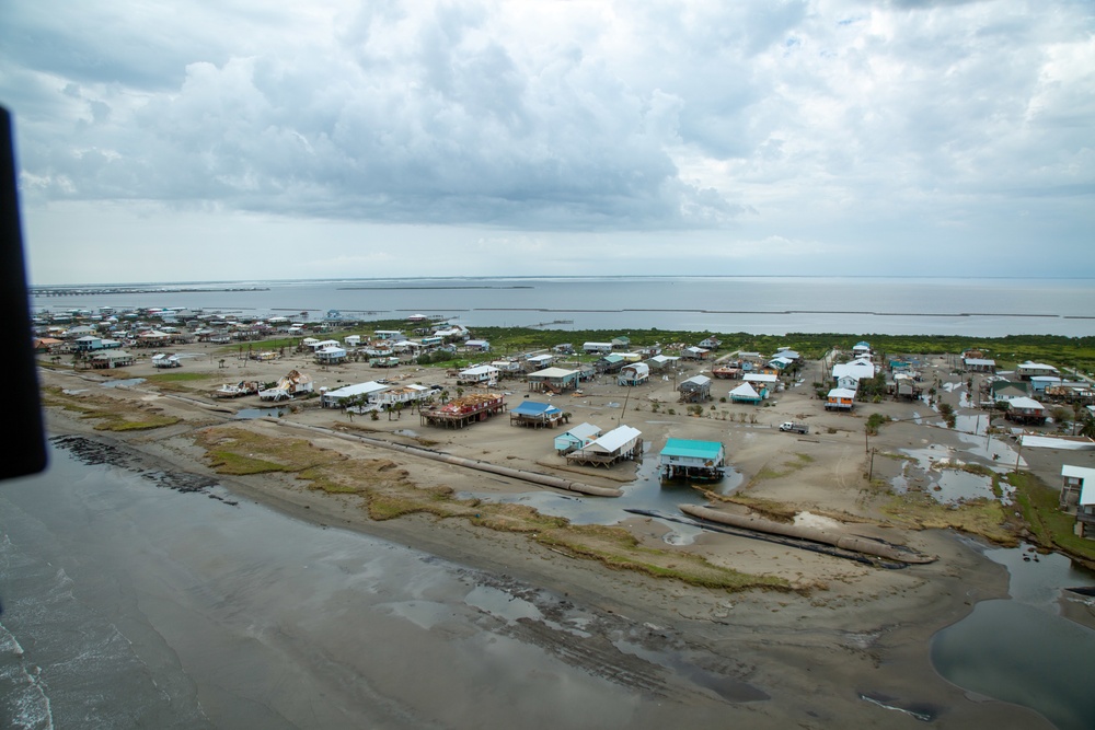
An aerial view of damage left by Hurricane Ida in Grand Isle, Louisiana, Sept. 1, 2021. The U.S. Army Corps of Engineers conducts aerial assessments to gain a better understanding of the size and scope of the damage, and to help determine capabilities and support USACE can provide in the ongoing response effort. (U.S. Army photo by Maj. Grace Geiger)
| Date Taken: | 09.01.2021 |
| Date Posted: | 09.05.2021 19:16 |
| Photo ID: | 6819710 |
| VIRIN: | 210901-A-JU815-783 |
| Resolution: | 5760x3840 |
| Size: | 3.07 MB |
| Location: | GRAND ISLE, LOUISIANA, US |
| Web Views: | 35 |
| Downloads: | 11 |

This work, USACE surveys Hurricane Ida damage [Image 14 of 14], by MAJ Grace Geiger, identified by DVIDS, must comply with the restrictions shown on https://www.dvidshub.net/about/copyright.


No keywords found.




