
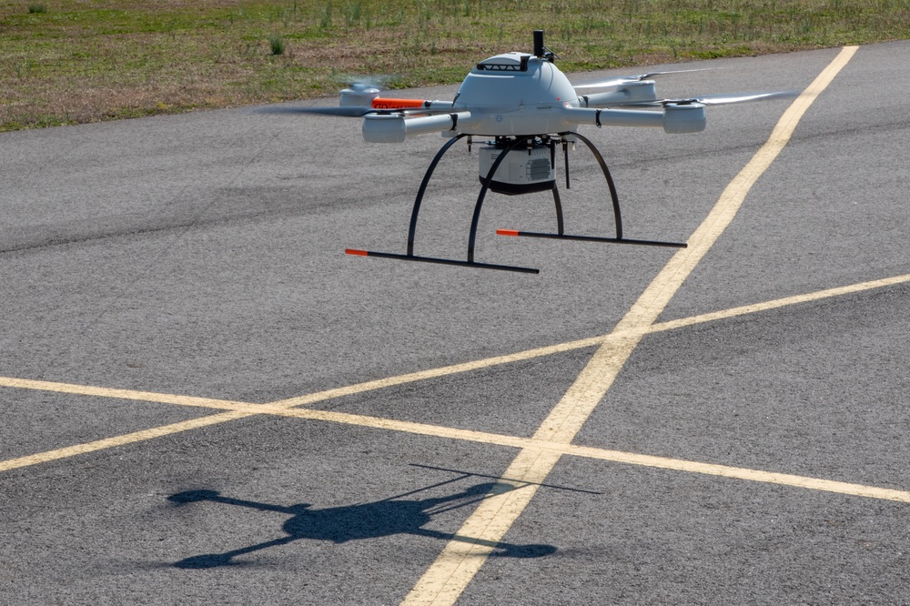
A Microdrones MD4-1000 lands at the Rocket City Radio Controllers complex in southeast Huntsville, Alabama, during an unmanned aircraft systems capabilities review Feb. 27, 2020.
| Date Taken: | 02.27.2020 |
| Date Posted: | 03.16.2020 16:05 |
| Photo ID: | 6141133 |
| VIRIN: | 200227-A-UT290-0085 |
| Resolution: | 3763x2507 |
| Size: | 6.02 MB |
| Location: | HUNTSVILLE, ALABAMA, US |
| Web Views: | 58 |
| Downloads: | 6 |

This work, A range of capabilities: How unmanned aircraft systems could be range project force multipliers [Image 12 of 12], by Stephen Baack, identified by DVIDS, must comply with the restrictions shown on https://www.dvidshub.net/about/copyright.


A range of capabilities: How unmanned aircraft systems could be range project force multipliers
No keywords found.





