
 Subscribe
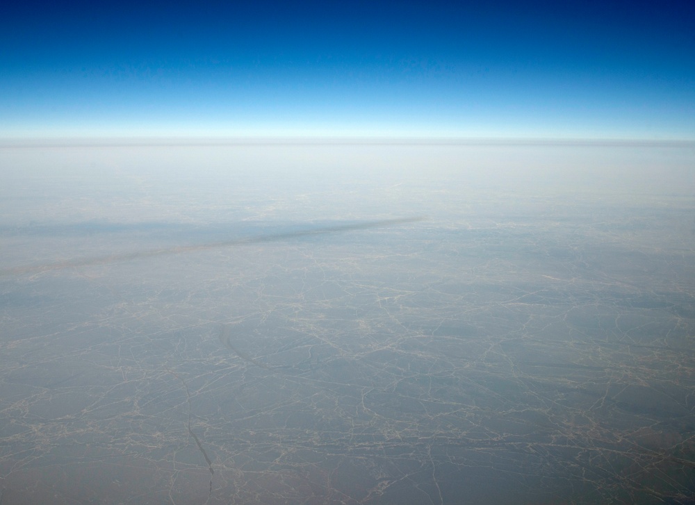
Ice covers the Arctic Ocean in the high arctic March 10, 2020, seen from the cockpit of an E-3 Sentry assigned to the 962nd Airborne Air Control Squadron on a mission in the region. Lasting approximately nine hours and traveling 1,700 nautical miles north from Joint Base Elmendorf-Richardson, Alaska, the flight demonstrated the North American Aerospace Defense Command’s ability to detect threats in the high arctic and its access to North American airspace. Members of the U.S. Air Force and the Royal Canadian Air Force participated in the deployment of the airborne early warning aircraft to the remote arctic location. (U.S. Air Force photo by Airman 1st Class Emily Farnsworth)
| Date Taken: | 03.10.2020 |
| Date Posted: | 04.14.2020 19:21 |
| Photo ID: | 6136265 |
| VIRIN: | 200310-F-MJ351-1085 |
| Resolution: | 6086x4426 |
| Size: | 2.41 MB |
| Location: | JOINT BASE ELMENDORF-RICHARDSON, ALASKA, US |
| Web Views: | 35 |
| Downloads: | 4 |

This work, NORAD conducts high arctic E-3 Sentry mission [Image 6 of 6], by SSgt Emily Farnsworth, identified by DVIDS, must comply with the restrictions shown on https://www.dvidshub.net/about/copyright.


No keywords found.




