
 Subscribe
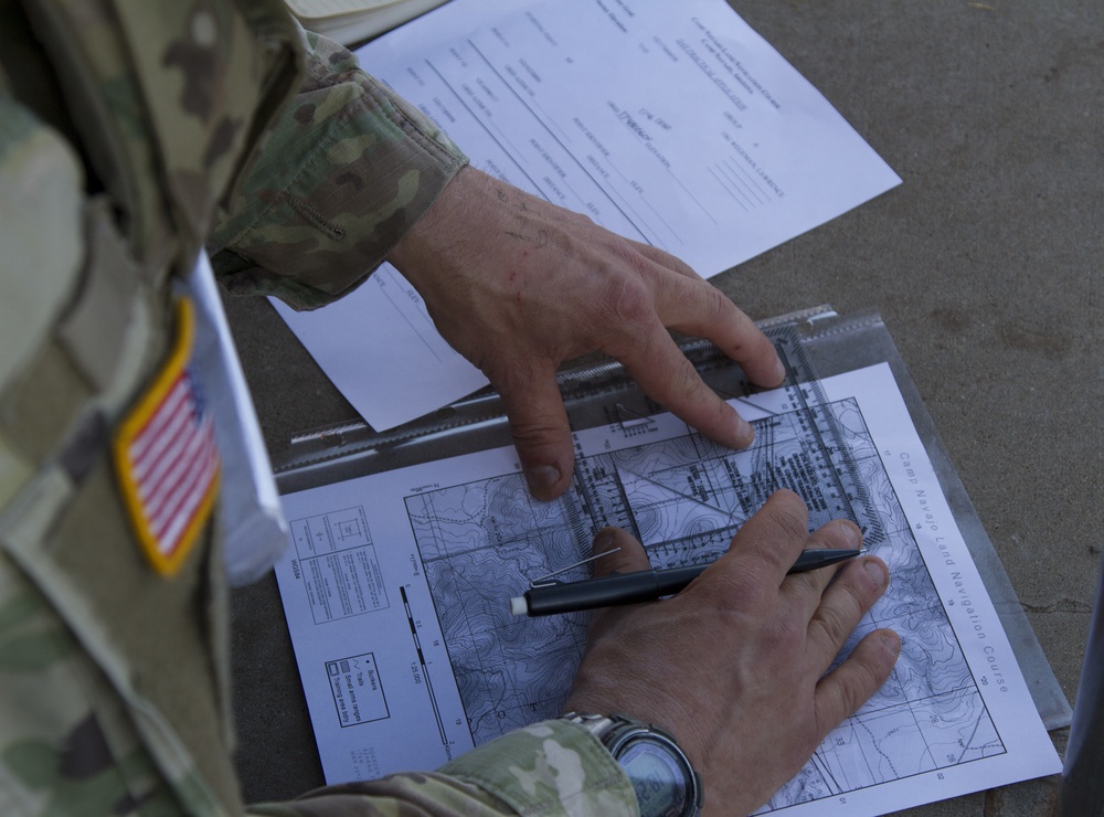
1st Sgt. Lawrence Wegaman, 855th Military Police Company, locates a series of six points on a map during the Land Navigation Lane of the Arizona National Guard Best Warrior Competition 2019 at Camp Navajo in Bellemont, Ariz. on April 17.
Land Navigation is one of the essential soldier tasks each competitor must demonstrate a proficiency in during the Best Warrior Competition and this task is also required of Guardsmen throughout the state.
(U.S. Army photo by Sgt. Nicholas Moyte, Released)
| Date Taken: | 04.17.2019 |
| Date Posted: | 04.23.2019 13:45 |
| Photo ID: | 5290266 |
| VIRIN: | 190417-Z-BT406-090 |
| Resolution: | 4668x3456 |
| Size: | 3.56 MB |
| Location: | CAMP NAVAJO, ARIZONA, US |
| Web Views: | 48 |
| Downloads: | 2 |

This work, Plotting points [Image 7 of 7], by SSG Nicholas Moyte, identified by DVIDS, must comply with the restrictions shown on https://www.dvidshub.net/about/copyright.


No keywords found.




