
 Subscribe
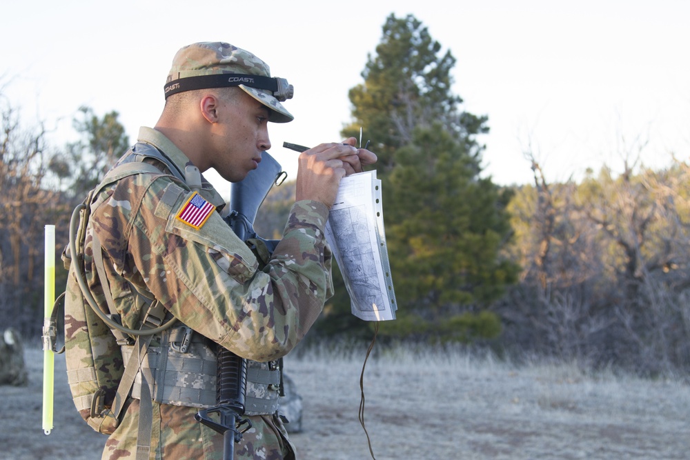
Pfc. Alexander Smallbrock, Detachment 1, Company B, 640th Aviation Support Battalion, uses his lensatic compass to shoot an azimuth during the Land Navigation section of the Arizona National Guard Best Warrior Competition 2019 at Camp Navajo in Bellemont, Ariz. on April 17.
The ability to shoot an azimuth, which determines the correct path to a specific location, while ensuring accurate measure of the distance traveled to arrive at the correct point is one of the essential soldier tasks competitors must complete at the Best Warrior Competition.(U.S. Army photo by Sgt. Nicholas Moyte, Released)
| Date Taken: | 04.17.2019 |
| Date Posted: | 04.23.2019 13:45 |
| Photo ID: | 5290261 |
| VIRIN: | 190417-Z-BT406-141 |
| Resolution: | 5184x3456 |
| Size: | 3.37 MB |
| Location: | CAMP NAVAJO, ARIZONA, US |
| Web Views: | 113 |
| Downloads: | 2 |

This work, Shooting an Azimuth [Image 7 of 7], by SSG Nicholas Moyte, identified by DVIDS, must comply with the restrictions shown on https://www.dvidshub.net/about/copyright.


No keywords found.




