
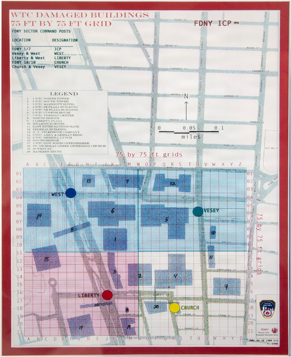
A grid map used by the New York Fire Department to assess damage from the World Trade Center buildings following the 9/11 attacks. (U.S. Army Corps of Engineers photo by Delanie Stafford)
| Date Taken: | 09.02.2026 |
| Date Posted: | 09.10.2026 11:55 |
| Photo ID: | 9924319 |
| VIRIN: | 260902-A-KS317-1004 |
| Resolution: | 2689x3300 |
| Size: | 3.81 MB |
| Location: | US |
| Web Views: | 3 |
| Downloads: | 0 |

This work, Looking Back at Ground Zero, Part 3 Personal accounts of Omaha District employees who joined disaster response following the 9/11 attacks [Image 6 of 6], by Delanie Stafford, identified by DVIDS, must comply with the restrictions shown on https://www.dvidshub.net/about/copyright.


No keywords found.





