
 Subscribe
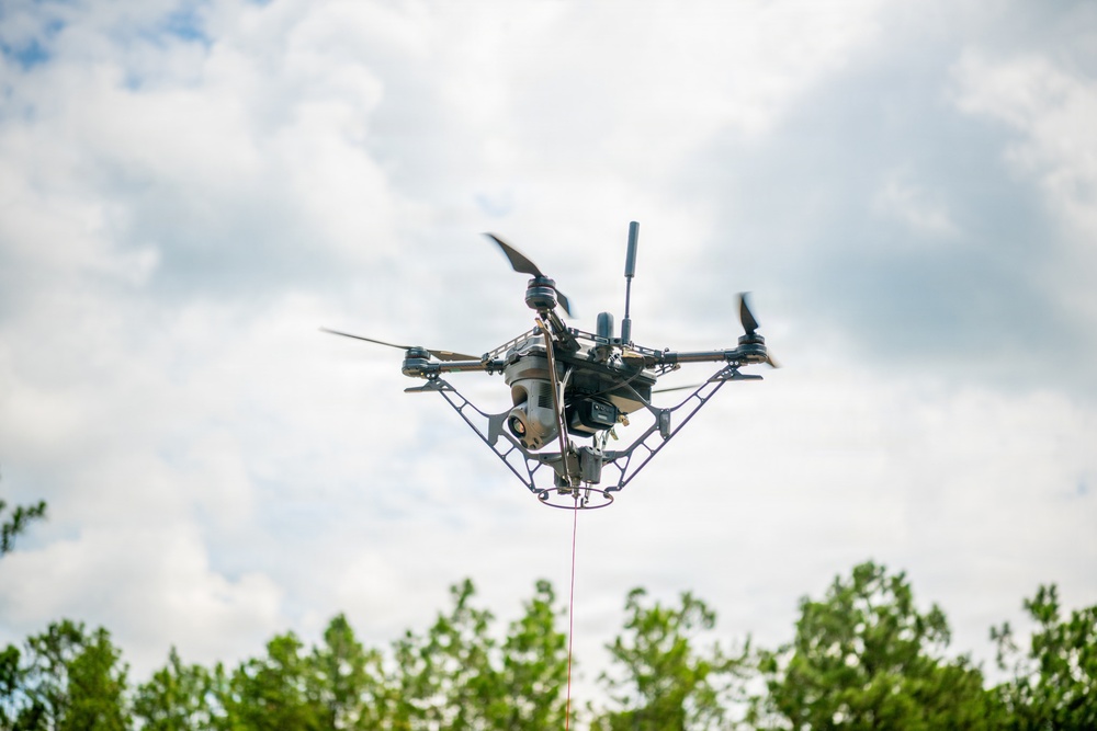
A tethered unmanned aerial system (Te-UAS) flies over McKenna Field Landing Site on Fort Benning, Ga., during a Maneuver Battle Lab (MBL) assessment., Aug. 6, 2026. The MBL designed and executed the two-week assessment to gather the technical performance data and Soldier feedback necessary to help leaders assess the system's potential use by maneuver units. (U.S. Army photo by Patrick Albright)
| Date Taken: | 08.06.2026 |
| Date Posted: | 09.02.2026 09:06 |
| Photo ID: | 9904331 |
| VIRIN: | 260806-O-YH902-9829 |
| Resolution: | 8256x5504 |
| Size: | 6.8 MB |
| Location: | FORT BENNING, GEORGIA, US |
| Web Views: | 28 |
| Downloads: | 10 |

This work, 2026 08 06 Maneuver Battle Lab Tethered UAS Assessment [Image 6 of 6], by Patrick Albright, identified by DVIDS, must comply with the restrictions shown on https://www.dvidshub.net/about/copyright.


Soldiers, developers assess tethered drones to extend maneuver unit vision, range
No keywords found.




