
 Subscribe
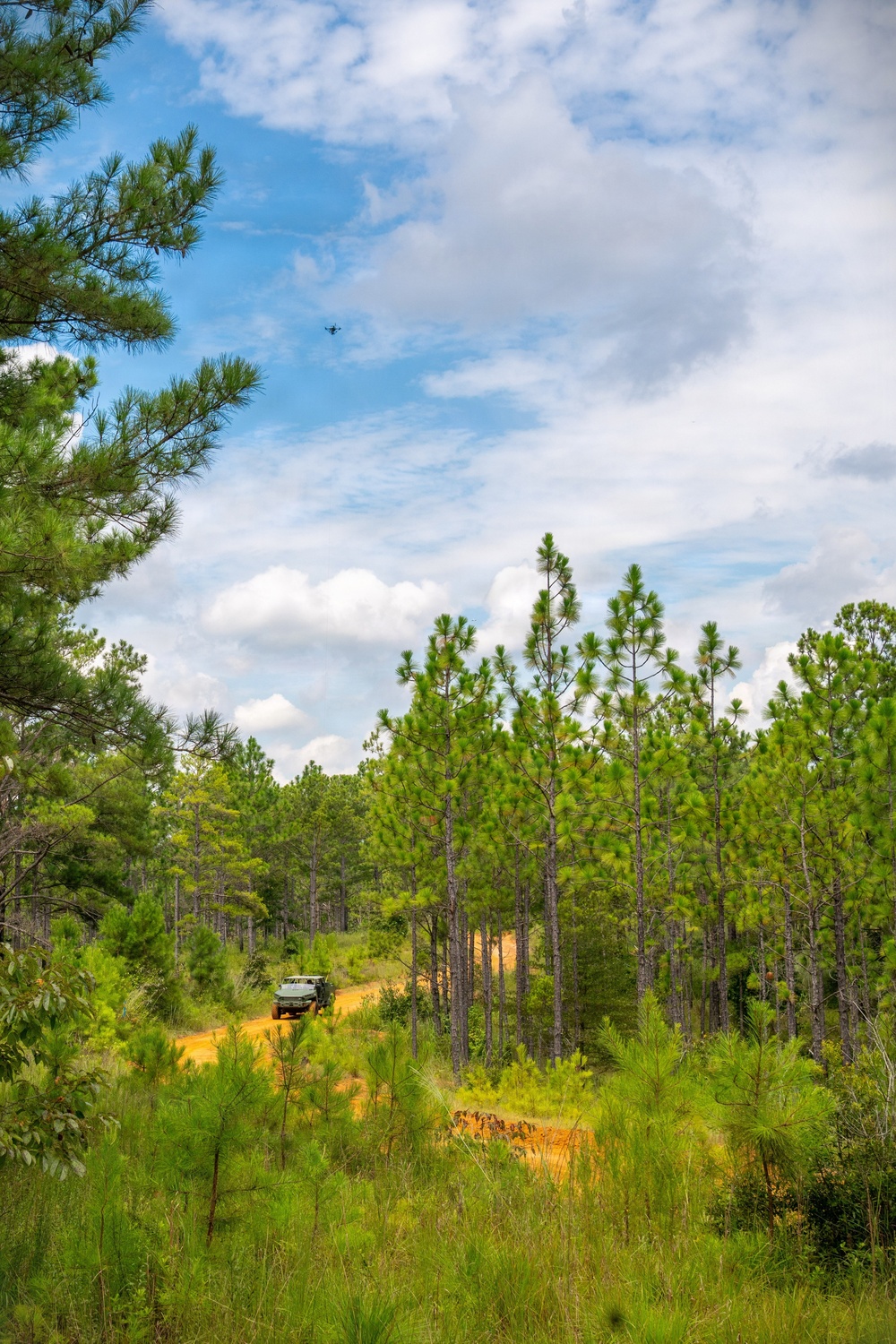
A tethered unmanned aerial system (Te-UAS) soars above the tree line while moving above an Infantry Squad Vehicle-Utility (ISV-U) during a Maneuver Battle Lab (MBL) assessment at Fort Benning, Ga., Aug. 6, 2026. MBL Soldiers maneuvered the drones at various altitudes to measure the technology against the Army's performance standards. (U.S. Army photo by Patrick Albright)
| Date Taken: | 08.06.2026 |
| Date Posted: | 09.02.2026 09:06 |
| Photo ID: | 9904329 |
| VIRIN: | 260806-O-YH902-3039 |
| Resolution: | 3669x5504 |
| Size: | 6.54 MB |
| Location: | FORT BENNING, GEORGIA, US |
| Web Views: | 23 |
| Downloads: | 2 |

This work, 2026 08 06 Maneuver Battle Lab Tethered UAS Assessment [Image 6 of 6], by Patrick Albright, identified by DVIDS, must comply with the restrictions shown on https://www.dvidshub.net/about/copyright.


Soldiers, developers assess tethered drones to extend maneuver unit vision, range
No keywords found.




