
 Subscribe
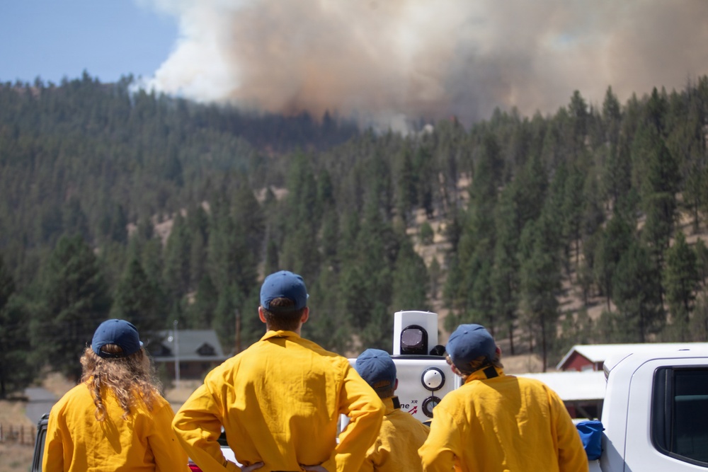
Researchers and students from San Jose State University and the University of Nevada, Reno stand next to a truck-mounted Doppler LiDAR, July 29, 2026, capturing data from a nearby smoke plume on the Rowe Creek Complex. The team used a weather balloon, Doppler LiDAR and radar to measure smoke layers and winds up to 10,000 feet, generating three-dimensional images of the fire plume as part of NASA's Injected Smoke and Pyrocumulonimbus Experiment. The data will help improve wildfire models to predict which fires will produce fire-generated thunderstorms and extreme behavior such as downdrafts, lightning, hail and fire tornadoes, increasing firefighter safety and informing resource deployment. (Forest Service photo by Andrew Avitt)
| Date Taken: | 07.29.2026 |
| Date Posted: | 08.03.2026 10:46 |
| Photo ID: | 9843381 |
| VIRIN: | 260729-P-NM884-6638 |
| Resolution: | 6720x4480 |
| Size: | 6.96 MB |
| Location: | OREGON, US |
| Web Views: | 1 |
| Downloads: | 0 |

This work, Researchers Study Smoke Plume Data During Rowe Creek Complex [Image 8 of 8], by Andrew Avitt, identified by DVIDS, must comply with the restrictions shown on https://www.dvidshub.net/about/copyright.


No keywords found.




