
 Subscribe
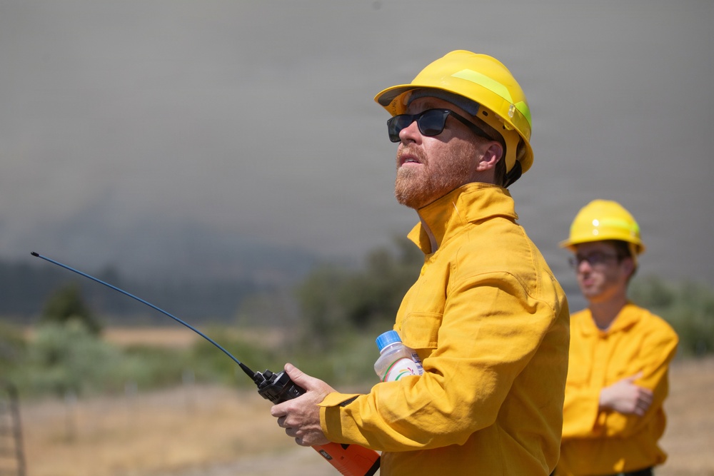
Neil Lareau, an associate professor of atmospheric science at the University of Nevada, Reno, looks up at smoke from the Rowe Creek Complex, July 29, 2026. Lareau and researchers and students from San Jose State University gathered data using a weather balloon, Doppler LiDAR and radar to measure smoke layers and winds up to 10,000 feet, generating three-dimensional images of the fire plume as part of NASA's Injected Smoke and Pyrocumulonimbus Experiment. The data will help improve wildfire models to predict which fires will produce fire-generated thunderstorms and extreme behavior such as downdrafts, lightning, hail and fire tornadoes, increasing firefighter safety and informing resource deployment. (Forest Service photo by Andrew Avitt)
| Date Taken: | 07.29.2026 |
| Date Posted: | 08.03.2026 10:46 |
| Photo ID: | 9843330 |
| VIRIN: | 260729-P-NM884-9536 |
| Resolution: | 6720x4480 |
| Size: | 7.2 MB |
| Location: | OREGON, US |
| Web Views: | 1 |
| Downloads: | 0 |

This work, Researchers Study Smoke Plume Data During Rowe Creek Complex [Image 8 of 8], by Andrew Avitt, identified by DVIDS, must comply with the restrictions shown on https://www.dvidshub.net/about/copyright.


No keywords found.




