
 Subscribe
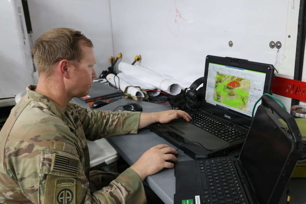
U.S. Army Chief Warrant Officer 2 George Thompson, assigned to the 4th Infantry Division, operates the Geospatial-Intelligence Workstation-Tactical during Project Convergence-Capstone 6 (PC-C6) at Fort Irwin, California, July 24, 2026. The Geospatial-Intelligence Workstation-Tactical is a ruggedized, mobile computer system that delivers real-time terrain analysis, route planning, and mapping data to commanders at the tactical edge. PC-C6 incorporates lessons learned from previous PC Capstone events, current Army experimentation events and ongoing military research and experimentation activities. (U.S. Army photo by Pfc. Kailea Stumke)
| Date Taken: | 06.23.2026 |
| Date Posted: | 07.26.2026 17:47 |
| Photo ID: | 9832710 |
| VIRIN: | 260724-A-YG387-1005 |
| Resolution: | 7768x5181 |
| Size: | 6.96 MB |
| Location: | FORT IRWIN, CALIFORNIA, US |
| Web Views: | 90 |
| Downloads: | 9 |

This work, US Army Experiments with Geospatial Technology, by PFC Kailea Stumke, identified by DVIDS, must comply with the restrictions shown on https://www.dvidshub.net/about/copyright.




