
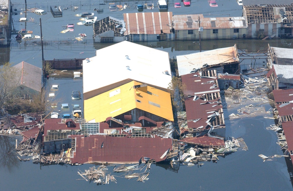
09/04/05 - An aerial view of homes on Sept. 4, 2005, that have been destroyed and remain surrounded by floodwaters from Hurricane Katrina in New Orleans, La. DoD photo by Tech. Sgt. Kevin J. Gruenwald, U.S. Air Force. (Released) hkat
| Date Taken: | 09.04.2005 |
| Date Posted: | 09.06.2005 20:00 |
| Photo ID: | 9208 |
| Resolution: | 3008x1960 |
| Size: | 1.21 MB |
| Location: | NEW ORLEANS, LOUISIANA, US |
| Web Views: | 235 |
| Downloads: | 57 |

This work, An aerial view of homes that have been destroyed and remain surrounded by [Image 10 of 10], must comply with the restrictions shown on https://www.dvidshub.net/about/copyright.


No keywords found.





