
(e.g. yourname@email.com)

Forgot Password?

    Digital Visual Information Distribution System Logo

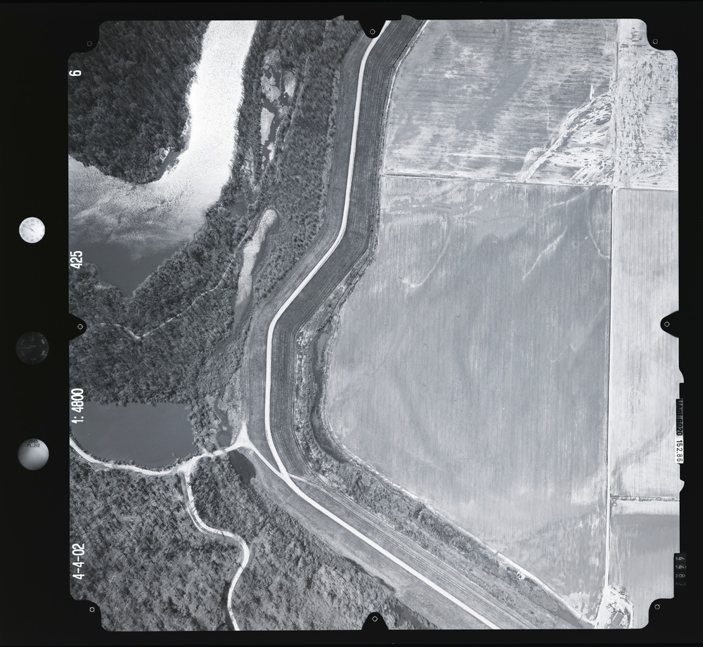
    083236.006 - Lower White River High Water.425.1 S [Image 8 of 10]

    Issued by: on

    VIRIN:
    Date Created:
    City:
    State:
    Country:
    This is a black-and-white aerial photograph dated April 4, 2002, taken at a scale of 1:4800, showing a rural landscape with agricultural fields, a river or waterway, and forested areas. A prominent road or levee curves through the image, separating cultivated farmland on the right from riparian woodland and water bodies on the left. The image includes standard photogrammetric reference markers along the borders.

    GEORGIA, UNITED STATES

    10.14.2020

    Photo by Seaman connor engelmann  

    Defense VI Records Center           

    1-269.6 inches.1:4800.2400.Harris Aerial Surveys, Inc.363

    IMAGE INFO

    Date Taken: 10.14.2020
    Date Posted: 05.18.2022 12:42
    Photo ID: 7206646
    VIRIN: 201017-D-ZZ999-251
    Resolution: 9467x8708
    Size: 0 B
    Location: GEORGIA, US

    Web Views: 10
    Downloads: 1

    PUBLIC DOMAIN




