
(e.g. yourname@email.com)

Forgot Password?

    Digital Visual Information Distribution System Logo

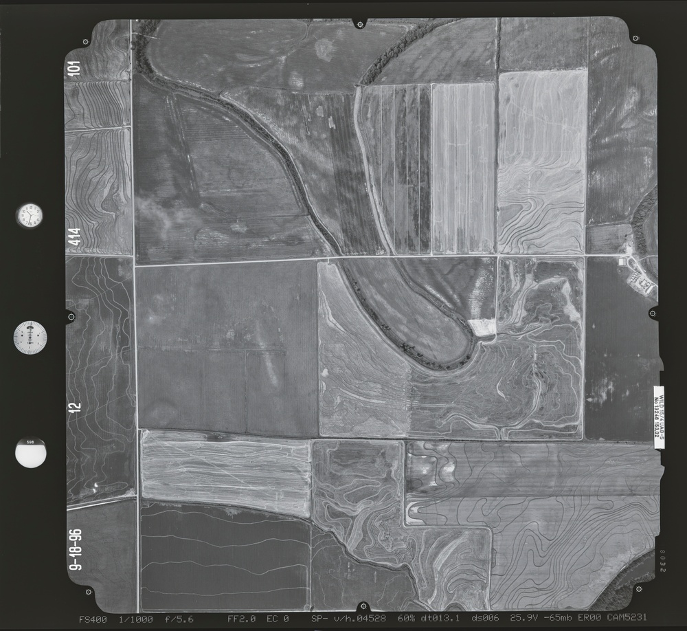
    083235.178 - Crooked Creek and Newport Bottoms.414.2 S [Image 10 of 10]

    Issued by: on

    VIRIN:
    Date Created:
    City:
    State:
    Country:
    This is a black-and-white aerial photograph taken on 9-18-96 (September 18, 1996) showing agricultural land with a meandering river or stream cutting through rectangular farm fields. The image includes survey reference markers, calibration instruments on the left border, and overlaid contour lines indicating topographic relief. The photograph was captured with technical settings including FS400 film, f/5.6 aperture, and CAM5231 camera.

    GEORGIA, UNITED STATES

    10.14.2020

    Photo by Seaman connor engelmann  

    Defense VI Records Center           

    252-327.6 inches.1:12000.6000.Harris Aerial Surveys, Inc.448

    IMAGE INFO

    Date Taken: 10.14.2020
    Date Posted: 05.18.2022 12:44
    Photo ID: 7206644
    VIRIN: 201028-D-ZZ999-815
    Resolution: 9485x8708
    Size: 0 B
    Location: GEORGIA, US

    Web Views: 11
    Downloads: 1

    PUBLIC DOMAIN




