
(e.g. yourname@email.com)

Forgot Password?

    Digital Visual Information Distribution System Logo

    081042.176 - Black River Basin.383.9 S [Image 20 of 24]

    Issued by: on

    VIRIN:
    Date Created:
    City:
    State:
    Country:
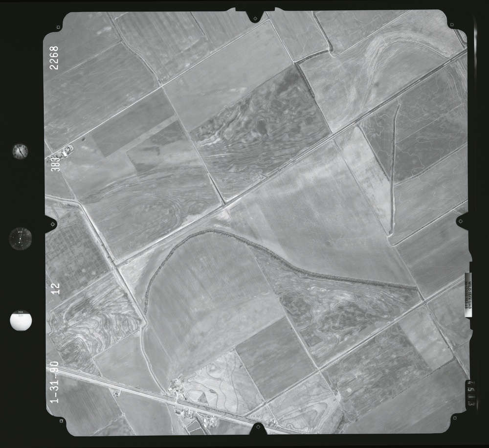
    This is a black-and-white aerial photograph taken on January 31, 1990, bearing frame number 2268 and sequence number 383. The image shows a rural agricultural landscape with numerous parceled fields displaying varied tillage patterns, contour farming lines, and what appears to be a dry or seasonal watercourse/drainage channel curving through the center of the frame. The terrain shows undulating topography indicated by contour-following cultivation patterns across multiple field parcels.

    GEORGIA, UNITED STATES

    11.10.2020

    Photo by Seaman connor engelmann  

    Defense VI Records Center           

    2104-2368.6 inches.1:12000.6000 AMT.Harris Aerial Surveys, Inc.909

    IMAGE INFO

    Date Taken: 11.10.2020
    Date Posted: 04.11.2022 10:29
    Photo ID: 7129877
    VIRIN: 201110-D-ZZ999-865
    Resolution: 9504x8708
    Size: 0 B
    Location: GEORGIA, US

    Web Views: 4
    Downloads: 1

    PUBLIC DOMAIN




