
(e.g. yourname@email.com)

Forgot Password?

    Digital Visual Information Distribution System Logo

    081041.130 - Black River Basin.383.10 S [Image 13 of 24]

    Issued by: on

    VIRIN:
    Date Created:
    City:
    State:
    Country:
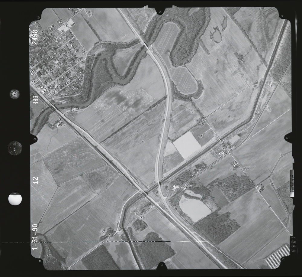
    This is a black-and-white aerial photograph dated 1-31-90 (January 31, 1990), showing a rural landscape with a small town or village in the upper-left corner surrounded by agricultural fields. A highway interchange or road intersection is visible in the center of the image, with what appears to be a curved highway merging with a straight road. The surrounding area consists predominantly of flat farmland with scattered woodlots, water features, and sparse rural development.

    GEORGIA, UNITED STATES

    11.10.2020

    Photo by Seaman connor engelmann  

    Defense VI Records Center           

    2369-2683.6 inches.1:12000.6000 AMT.Harris Aerial Surveys, Inc.910

    IMAGE INFO

    Date Taken: 11.10.2020
    Date Posted: 04.11.2022 10:31
    Photo ID: 7129858
    VIRIN: 201110-D-ZZ999-598
    Resolution: 9506x8708
    Size: 0 B
    Location: GEORGIA, US

    Web Views: 8
    Downloads: 1

    PUBLIC DOMAIN




