
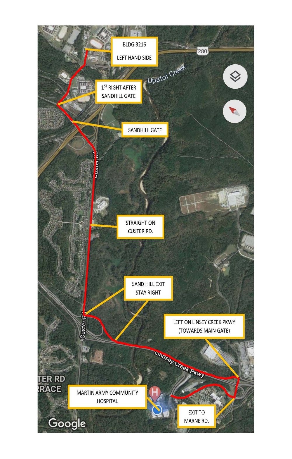
The addition of an adult provider at the newly minted Primary Cough & COVID Clinic enables Martin Army Community Hospital to offer a one-stop shop for adults and children suffering from influenza like illnesses which offers walk-in testing, face to face doctor visits and pharmacy.
| Date Taken: | 04.23.2021 |
| Date Posted: | 04.23.2021 11:56 |
| Photo ID: | 6612863 |
| VIRIN: | 210423-A-DA014-340 |
| Resolution: | 1437x2255 |
| Size: | 262.55 KB |
| Location: | FORT BENNING, GEORGIA, US |
| Web Views: | 30 |
| Downloads: | 4 |

This work, PRUCC no Longer Just for Pediatrics [Image 2 of 2], by Jane Lee, identified by DVIDS, must comply with the restrictions shown on https://www.dvidshub.net/about/copyright.


PRUCC no Longer Just for Pediatrics
No keywords found.





