
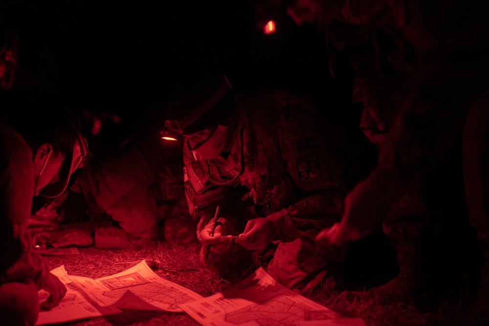
Willy Cheruiyot, a Cadet with Bowie State University ROTC program, plots his points on a map during night land navigation during the unit’s field training exercise at Quantico, Va., Nov. 7, 2020. Night land navigation is a commissioning requirement for BSU Cadets. (U.S. Army photo by Sgt. 1st Class Vanessa Atchley)
| Date Taken: | 11.07.2020 |
| Date Posted: | 11.10.2020 19:40 |
| Photo ID: | 6420416 |
| VIRIN: | 201107-A-UJ895-500 |
| Resolution: | 9504x6336 |
| Size: | 38.33 MB |
| Location: | QUANTICO, VIRGINIA, US |
| Web Views: | 46 |
| Downloads: | 9 |

This work, Night Land Navigation [Image 9 of 9], by CPT Vanessa Atchley, identified by DVIDS, must comply with the restrictions shown on https://www.dvidshub.net/about/copyright.


No keywords found.





