
 Subscribe
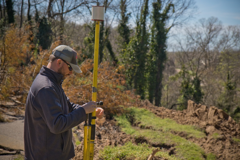
Daniel Hickman, a civil engineering technician and member of the U.S. Army Engineer Research and Development Center’s Coastal and Hydraulics Laboratory’s Unmanned Aircraft Systems Team, sets up equipment for a UAS flight over a landslide at the Vicksburg National Military Park. The team is gathering photographic and LiDAR data in order to aid in the assessment of landslides and erosion that occurred last month in the park due to unprecedented amounts of rain and heavy downpours.
| Date Taken: | 03.06.2020 |
| Date Posted: | 03.10.2020 16:25 |
| Photo ID: | 6132981 |
| VIRIN: | 200306-A-HE363-0033 |
| Resolution: | 4377x2918 |
| Size: | 3.99 MB |
| Location: | VICKSBURG, MISSISSIPPI, US |
| Web Views: | 36 |
| Downloads: | 3 |

This work, U.S. Army Engineer Research and Development Center assists in mudslide assessment [Image 2 of 2], by Jared Eastman, identified by DVIDS, must comply with the restrictions shown on https://www.dvidshub.net/about/copyright.


U.S. Army Engineer Research and Development Center assists in mudslide assessment
No keywords found.




