
 Subscribe
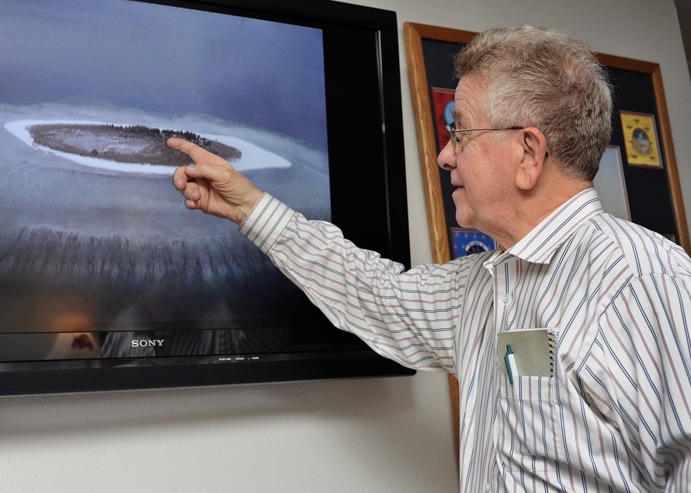
Bob Cunningham points to the camp on ‘North Danger Island’ where he lived and worked as a radar operator for six months in 1956 during an Air Force project mapping the earth. His team was resupplied with food, water, medicine, parts and mail every 4-6 weeks at the remote location in the South China Sea. Cunningham visited the Malmstrom Air Force Base museum Dec. 22, 2016 and showed photographs he took during his tour of duty on the island. (U.S. Air Force photo/John Turner)
| Date Taken: | 12.22.2016 |
| Date Posted: | 12.18.2017 17:41 |
| Photo ID: | 4038052 |
| VIRIN: | 161222-F-CX339-111 |
| Resolution: | 2100x1500 |
| Size: | 697.76 KB |
| Location: | GREAT FALLS, MONTANA, US |
| Web Views: | 54 |
| Downloads: | 5 |

This work, Castaway Airman helped map the world [Image 4 of 4], by John Turner, identified by DVIDS, must comply with the restrictions shown on https://www.dvidshub.net/about/copyright.


Castaway Airman helped map the world
No keywords found.




