
 Subscribe
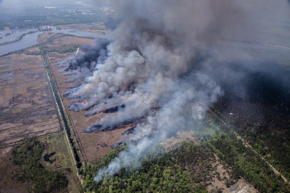
A controlled forest fire is used for Aerial Firefighting exercises during Operation Vigilant Guard in
Bryan County, Ga., Mar. 29, 2017. The exercise provides National Guard units with opportunity to
improve on cooperation and relationships with not only local and state agencies but military and
federal partners as well to insure proper preparation for emergencies and catastrophic events. (U.S.Army Spc. Jesse Coggins/Released)
| Date Taken: | 03.29.2017 |
| Date Posted: | 03.31.2017 11:34 |
| Photo ID: | 3273355 |
| VIRIN: | 170329-A-MO864-102 |
| Resolution: | 5616x3744 |
| Size: | 12.64 MB |
| Location: | US |
| Web Views: | 61 |
| Downloads: | 11 |

This work, Aerial Firefighting [Image 32 of 32], by SGT Jesse Coggins, identified by DVIDS, must comply with the restrictions shown on https://www.dvidshub.net/about/copyright.


No keywords found.




