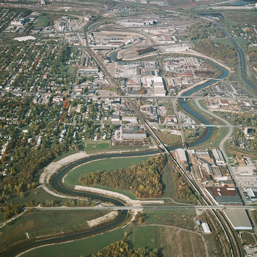
An aerial view of the lower six miles of the completed channel. The project provides a hydraulically efficient channel of 35,000 cubic feet per second capacity to move water through this industrialized corridor and significantly reduces the threat of flooding to the entire valley.
| Date Taken: | 07.14.2016 |
| Date Posted: | 09.14.2016 10:49 |
| Photo ID: | 2852910 |
| VIRIN: | 160714-A-CE999-002 |
| Resolution: | 512x512 |
| Size: | 116.55 KB |
| Location: | KANSAS CITY, MISSOURI, US |
| Web Views: | 47 |
| Downloads: | 2 |

This work, After three-decades, Blue River Corridor flood risk management project complete [Image 3 of 3], must comply with the restrictions shown on https://www.dvidshub.net/about/copyright.