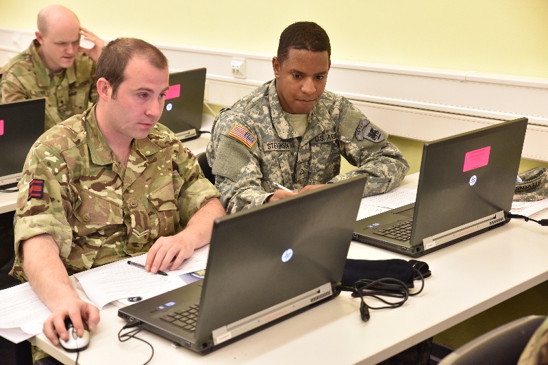
WIESBADEN, Germany - Corporal Roland Williams, a geospatial engineer with the Allied Rapid Reaction Corps, British Army, from Innsworth, England and Private 1st Class Jarot Stevenson, 517th geospatial engineer cell, Vicenza, Italy, complete a test during the Advanced Geographic Systems Analysis Using Models class, a class that teaches how to streamline processes and establish NATO interoperability. (Photo by U.S. Army Sgt. Jesiah Dixon)
| Date Taken: | 04.28.2016 |
| Date Posted: | 05.02.2016 09:56 |
| Photo ID: | 2560883 |
| VIRIN: | 160428-A-IU966-307 |
| Resolution: | 800x533 |
| Size: | 657.98 KB |
| Location: | WIESBADEN, HESSEN, DE |
| Web Views: | 70 |
| Downloads: | 7 |

This work, Multi-national geospatial engineers train with advanced geographic systems [Image 2 of 2], by SGT Jesiah Dixon, identified by DVIDS, must comply with the restrictions shown on https://www.dvidshub.net/about/copyright.