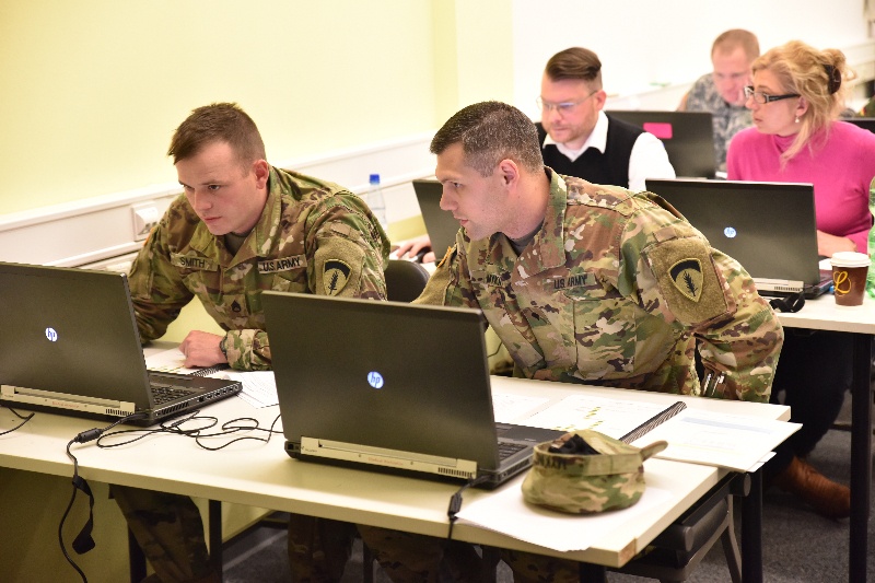
WIESBADEN, Germany - Staff Sgt. James Smith, geospatial engineer and Spc. Anthony Mykins, geospatial analyst, both from the 60th Geospatial Engineer Detachment, discuss an issue during the Advanced Geographic Systems Analysis Using Models class, a class that teaches how to streamline processes and establish NATO interoperability. (Photo by U.S. Army Sgt. Jesiah Dixon)
| Date Taken: | 04.28.2016 |
| Date Posted: | 05.02.2016 09:56 |
| Photo ID: | 2560881 |
| VIRIN: | 160428-A-IU966-096 |
| Resolution: | 800x533 |
| Size: | 640.15 KB |
| Location: | WIESBADEN, HESSEN, DE |
| Web Views: | 114 |
| Downloads: | 7 |

This work, Geospatial engineers train with advanced geographic information systems analysis [Image 2 of 2], by SGT Jesiah Dixon, identified by DVIDS, must comply with the restrictions shown on https://www.dvidshub.net/about/copyright.