
 Subscribe
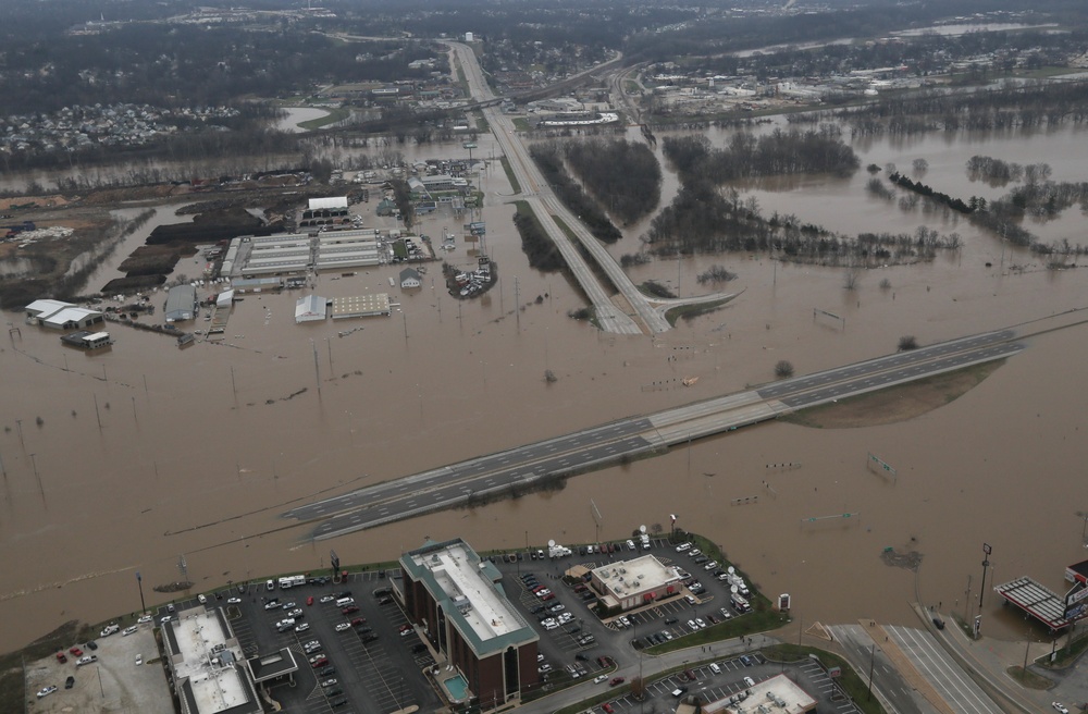
Gov. Jay Nixon, Maj. Gen. Steve Danner and members of the governor's emergency management team met with local officials and emergency response leaders in Pacific, Mo., Dec. 30, 2015. They also conducted an aerial survey of flood-affected areas, including Pacific, Valley Park, High Ridge, Arnold and Kimmswick in a Missouri National Guard Black Hawk helicopter.
| Date Taken: | 12.30.2015 |
| Date Posted: | 12.30.2015 22:33 |
| Photo ID: | 2346022 |
| VIRIN: | 151230-A-XQ077-007 |
| Resolution: | 5422x3556 |
| Size: | 1.19 MB |
| Location: | PACIFIC, MISSOURI, US |
| Web Views: | 95 |
| Downloads: | 23 |

This work, Missouri flood response [Image 18 of 18], by CPL Harold Flynn, identified by DVIDS, must comply with the restrictions shown on https://www.dvidshub.net/about/copyright.


No keywords found.




