
 Subscribe
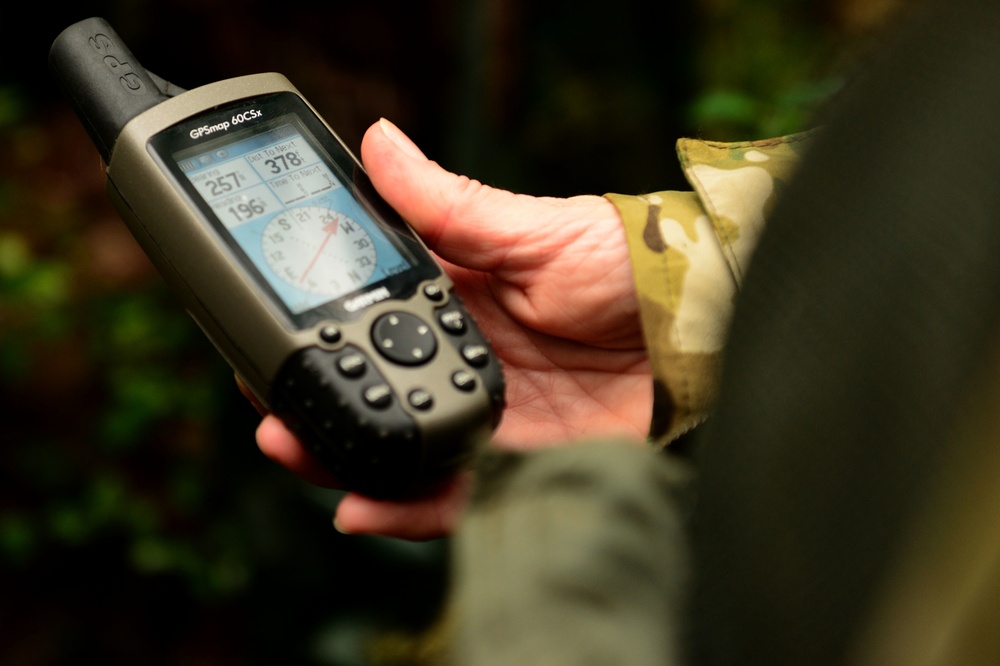
A U.S. Airman uses a GPS to load coordinates at Langley Air Force Base, Va., Nov. 19, 2015. Being able to use various types of technology during survival courses ensures Airmen are prepared in the event of being stranded in the wilderness. (U.S. Air Force photo by Airman 1st Class Derek Seifert)
| Date Taken: | 11.19.2015 |
| Date Posted: | 12.02.2015 16:32 |
| Photo ID: | 2312161 |
| VIRIN: | 151119-F-UN009-108 |
| Resolution: | 4928x3280 |
| Size: | 918.13 KB |
| Location: | LANGLEY AIR FORCE BASE, VIRGINIA, US |
| Web Views: | 68 |
| Downloads: | 14 |

This work, SERE: Survival training [Image 7 of 7], by SSgt Derek Seifert, identified by DVIDS, must comply with the restrictions shown on https://www.dvidshub.net/about/copyright.


No keywords found.




