
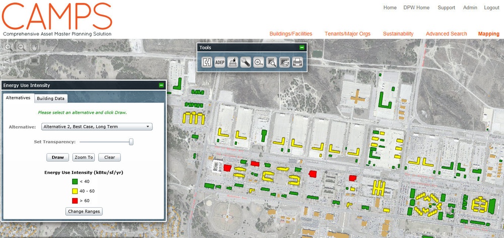
Fort Hood’s Comprehensive Asset Master Planning Solution (CAMPS) Dashboard is a user-friendly planning database and with excellent visualization capabilities. It is part of a demonstration project, combined with the Net Zero Planner tool, to speed sustainability planning. It is funded by a Department of Defense grant under the Environmental Security Technology Certification Program. (Source: USACE)
| Date Taken: | 08.18.2015 |
| Date Posted: | 11.16.2015 17:46 |
| Photo ID: | 2290016 |
| VIRIN: | 150818-A-ZZ999-001 |
| Resolution: | 1362x643 |
| Size: | 291.61 KB |
| Location: | US |
| Web Views: | 88 |
| Downloads: | 5 |

This work, Fort Hood planning CAMPS database aids energy conservation push [Image 4 of 4], must comply with the restrictions shown on https://www.dvidshub.net/about/copyright.


No keywords found.





