
 Subscribe
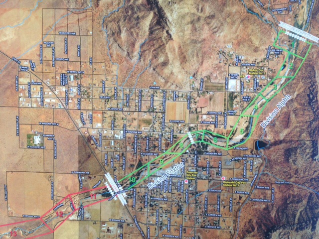
Gov. Gary Herbert activated the Utah National Guard to assist local first responders in search and rescue efforts after flash floods hit the border town of Hildale, Utah. Soldiers from the Utah Guard 2-222nd Field Artillery Battalion were dispatched from the nearby communities of St. George and Cedar City to aid in the rescue efforts. The flood, which raged out of Maxwell Canyon and through the tiny border town of Hildale and Colorado City, Ariz., about 5 p.m. on Monday, is believed to be the single most deadly weather event in Utah history.
| Date Taken: | 09.16.2015 |
| Date Posted: | 09.16.2015 17:23 |
| Photo ID: | 2179597 |
| VIRIN: | 150916-Z-ZZ999-0005 |
| Resolution: | 640x480 |
| Size: | 316.46 KB |
| Location: | DRAPER, UTAH, US |
| Web Views: | 81 |
| Downloads: | 5 |

This work, Utah National Guard activated to assist with Hildale, Utah, flood search and recovery mission [Image 30 of 30], must comply with the restrictions shown on https://www.dvidshub.net/about/copyright.


No keywords found.




