
 Subscribe
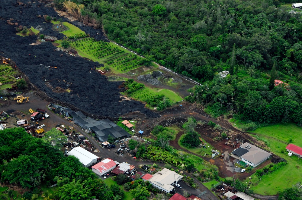
The main front of the Puna lava flow closest to the town of Pahoa has stalled approximately 480 feet away from Pahoa Village Road but remains active Nov. 7, 2014. Several breakouts have occurred on the rear and edge of the flow, which remains in a state of inflation. (U.S. Army National Guard photo by Staff Sgt. Katie Gray/Released)
| Date Taken: | 11.07.2014 |
| Date Posted: | 11.07.2014 21:43 |
| Photo ID: | 1649098 |
| VIRIN: | 141106-Z-ZO853-693 |
| Resolution: | 4288x2848 |
| Size: | 8.89 MB |
| Location: | PAHOA, HAWAII, US |
| Web Views: | 59 |
| Downloads: | 4 |

This work, Pahoa lava flow aerials [Image 7 of 7], by Katie Gray, identified by DVIDS, must comply with the restrictions shown on https://www.dvidshub.net/about/copyright.


No keywords found.




