
 Subscribe
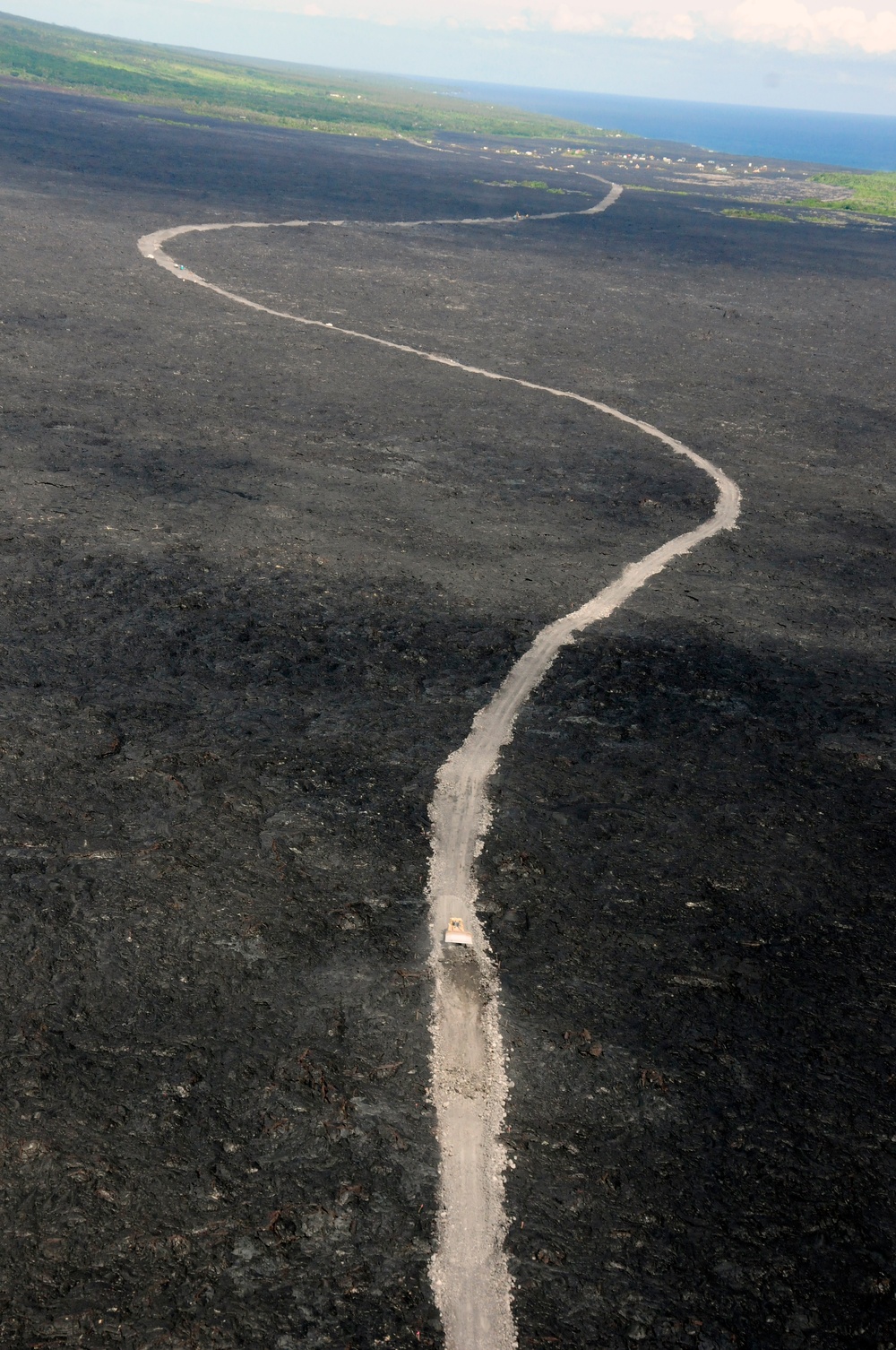
Hawaii County continues construction on Chain of Craters Road in Hawaii Volcanoes National Park, Nov. 7, 2014. The road will provide an alternate route for Pahoa residents in case the Puna lava flow overtakes the main road, Highway 130. (U.S. Army National Guard photo by Staff Sgt. Katie Gray/Released)
| Date Taken: | 11.06.2014 |
| Date Posted: | 11.07.2014 21:43 |
| Photo ID: | 1649075 |
| VIRIN: | 141106-Z-ZO853-374 |
| Resolution: | 2848x4288 |
| Size: | 7.65 MB |
| Location: | HAWAII, US |
| Web Views: | 72 |
| Downloads: | 3 |

This work, Pahoa lava flow aerials [Image 7 of 7], by Katie Gray, identified by DVIDS, must comply with the restrictions shown on https://www.dvidshub.net/about/copyright.


No keywords found.




