
 Subscribe
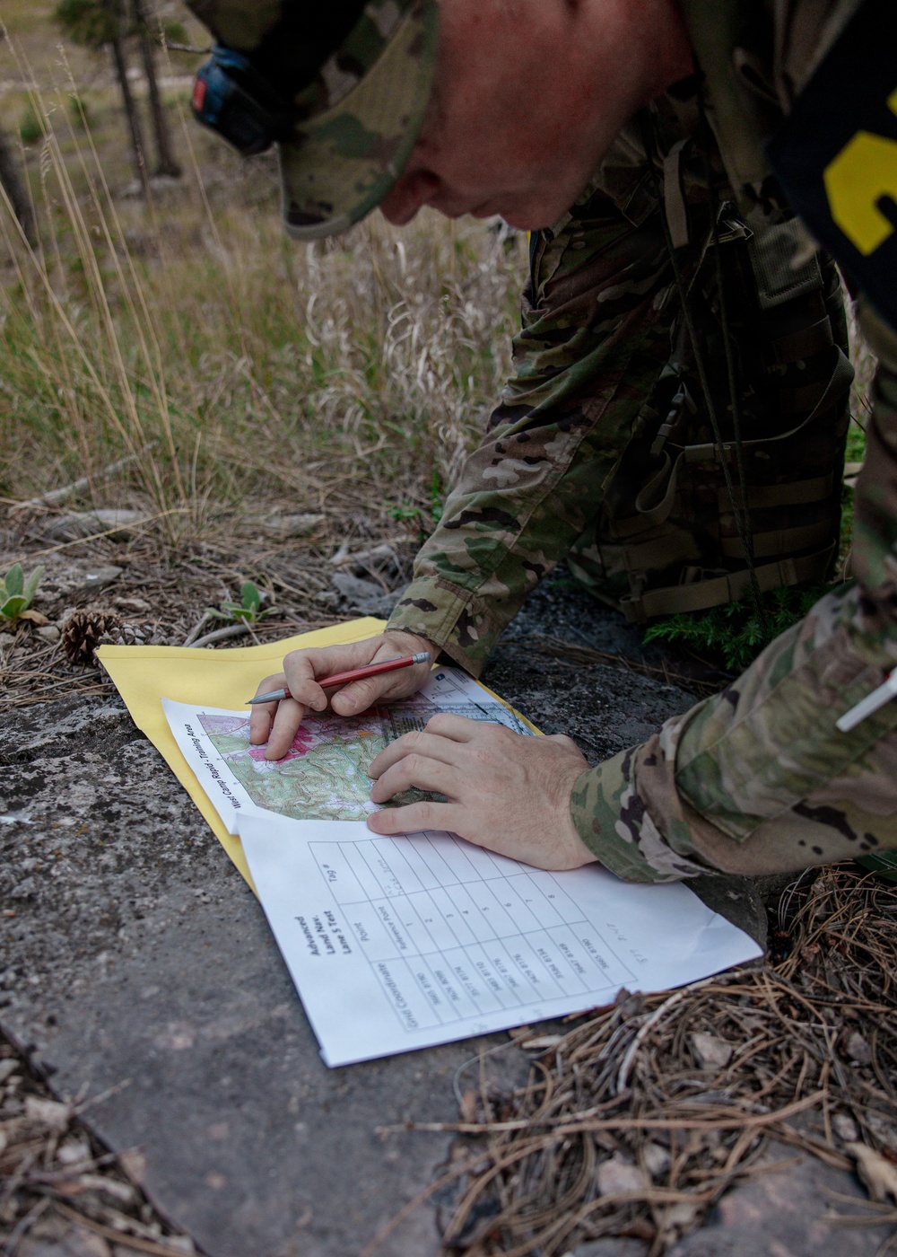
South Dakota Army National Guard Sgt. Chris Phillips, assigned to the 115th Brigade Signal Company, plots a point on a map during the land navigation portion of the Best Warrior Competition, Sept. 12, 2026. Land navigation evaluates competitors’ ability to use terrain association, map-reading skills and navigational tools to locate designated points while operating independently in a field environment.
| Date Taken: | 09.12.2026 |
| Date Posted: | 09.16.2026 10:00 |
| Photo ID: | 9932857 |
| VIRIN: | 260912-Z-HR682-1008 |
| Resolution: | 3539x4955 |
| Size: | 6.6 MB |
| Location: | RAPID CITY, SOUTH DAKOTA, US |
| Web Views: | 1 |
| Downloads: | 0 |

This work, South Dakota Army National Guard's State Best Warrior Competition: Land Navigation [Image 10 of 10], by SGT Kinsey Schuchhardt, identified by DVIDS, must comply with the restrictions shown on https://www.dvidshub.net/about/copyright.


No keywords found.




