
 Subscribe
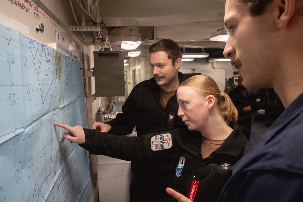
U.S. Sailors examine a map aboard Nimitz-class aircraft carrier USS George Washington (CVN 73), Sept. 2, 2026. George Washington is deployed to the U.S. 5th Fleet area of operations to support maritime security and stability in the Middle East. (U.S. Navy photo)
| Date Taken: | 08.31.2026 |
| Date Posted: | 09.05.2026 02:43 |
| Photo ID: | 9914752 |
| VIRIN: | 260902-N-NO146-3071 |
| Resolution: | 5472x3648 |
| Size: | 2.29 MB |
| Location: | U.S. 5TH FLEET AREA OF RESPONSIBILITY |
| Web Views: | 5 |
| Downloads: | 2 |

This work, George Washington Examines Maps [Image 22 of 22], by NAVCENT Public Affairs, identified by DVIDS, must comply with the restrictions shown on https://www.dvidshub.net/about/copyright.


No keywords found.




