
 Subscribe
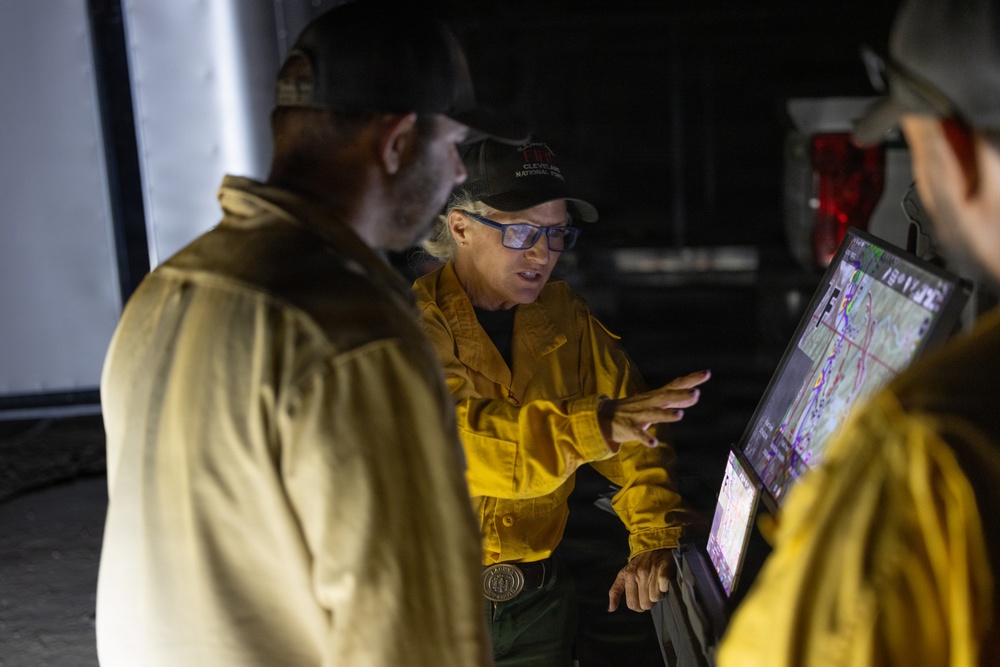
Firefighters review a map with potential hot spots along a fireline during nighttime operations on the Timber Fire in the Los Padres National Forest near Big Sur, California, Aug. 30, 2026. (Forest Service photo by Andrew Avitt)
| Date Taken: | 08.30.2026 |
| Date Posted: | 09.02.2026 12:57 |
| Photo ID: | 9902267 |
| VIRIN: | 260830-P-NM884-9693 |
| Resolution: | 8192x5464 |
| Size: | 16.07 MB |
| Location: | BIG SUR, CALIFORNIA, US |
| Web Views: | 3 |
| Downloads: | 1 |

This work, Uncrewed Aircraft Specialists Deploy Drone to Detect Hot Spots on Timber Fire [Image 93 of 93], by Andrew Avitt, identified by DVIDS, must comply with the restrictions shown on https://www.dvidshub.net/about/copyright.


No keywords found.




