
 Subscribe
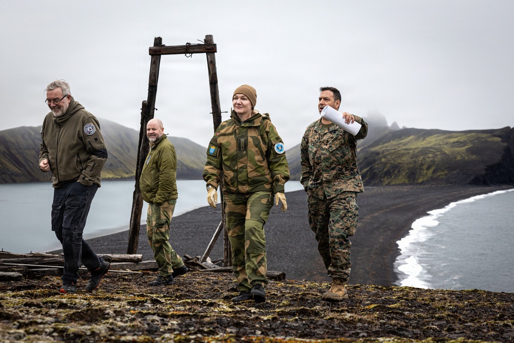
U.S. Marine Corps Lt. Col. David Palacio, fires officer for U.S. Marine Corps Forces Europe and Africa, Norwegian Army Maj. Ane Manheim, fires officer with Norwegian National Joint Headquarters J3-5, and Royal Norwegian Air Force Lt. Col. Tore Thorsen, exercise planner with Norwegian National Joint Headquarters J7, conduct a site reconnaissance to evaluate terrain for future capability placement on Jan Mayen Island, Norway, Aug. 29, 2026. The trilateral assessment, conducted during Operation Atlantic City 26, enhanced combined operational readiness and rapid-response posture, ensuring NATO can quickly integrate critical assets across remote and austere terrain in the High North. Atlantic City 26 is a Norwegian-led trilateral readiness initiative with the United Kingdom and United States, designed to develop and demonstrate expeditionary advanced base capabilities and validate combined fires, maritime domain awareness, and sea denial to reinforce the security and stability of the High North. Jan Mayen is sovereign Norwegian territory in an isolated part of the Norwegian Sea, approximately 1,000 kilometers (620 miles) from mainland Norway. At the same time, the island occupies an important geostrategic position north of the Greenland-Iceland-U.K. gap, an area of water strategically significant to the defense of the U.S. homeland and northern Europe. (U.S. Marine Corps photo by Sgt. Noah Masog)
| Date Taken: | 08.28.2026 |
| Date Posted: | 08.30.2026 14:25 |
| Photo ID: | 9898274 |
| VIRIN: | 260829-M-EE367-1229 |
| Resolution: | 5484x3656 |
| Size: | 6.14 MB |
| Location: | JAN MAYEN, NO |
| Web Views: | 8 |
| Downloads: | 0 |

This work, U.S. Marines, Norwegian Military Leaders conduct site reconnaisance on Jan Mayen [Image 10 of 10], by Sgt Noah Masog, identified by DVIDS, must comply with the restrictions shown on https://www.dvidshub.net/about/copyright.


No keywords found.




