
 Subscribe
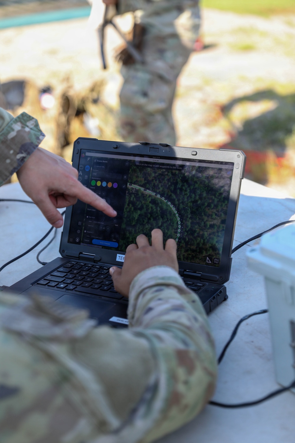
U.S. Army Soldiers plan a flight route for a Bumblebee V2 small unmanned aircraft system during Project Sandhills 2.0 testing at Range 63, Fort Bragg, N.C., Aug. 18, 2026. The project tested how unmanned systems can support contested obstacle breaching while reducing Soldiers’ exposure to battlefield hazards.
| Date Taken: | 08.18.2026 |
| Date Posted: | 08.21.2026 09:52 |
| Photo ID: | 9881287 |
| VIRIN: | 260818-A-TT698-1123 |
| Resolution: | 4480x6720 |
| Size: | 1.87 MB |
| Location: | US |
| Web Views: | 7 |
| Downloads: | 0 |

This work, Sandhills Project [Image 7 of 7], by PV2 Angel Franklin, identified by DVIDS, must comply with the restrictions shown on https://www.dvidshub.net/about/copyright.


No keywords found.




