
 Subscribe
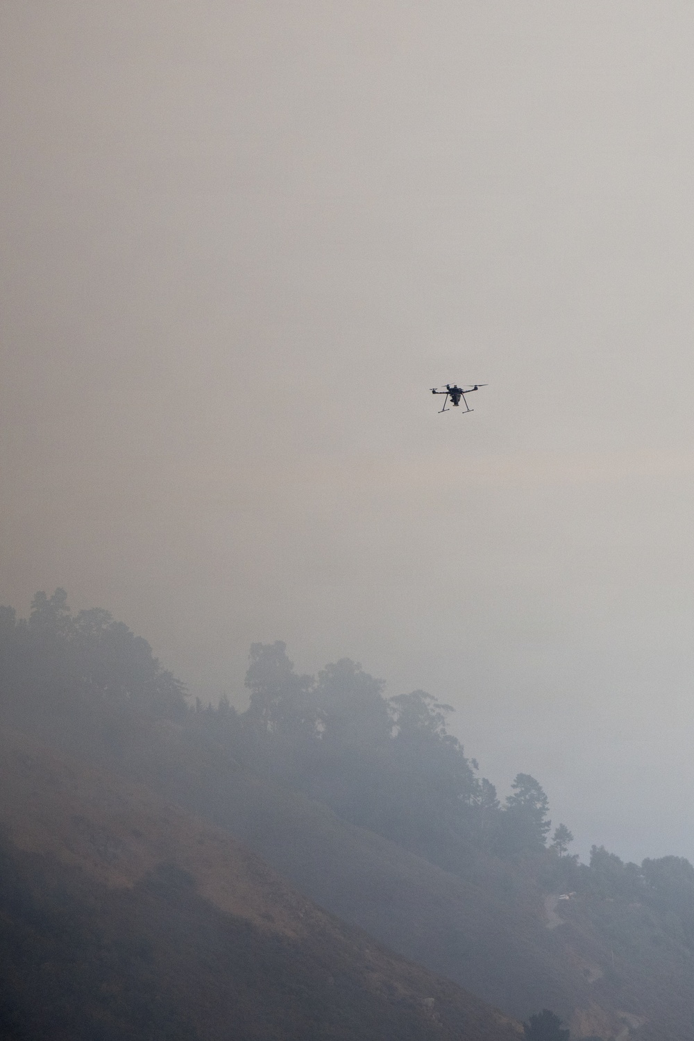
A drone gathers intelligence for wildland firefighters on the ground during the Timber Fire near Big Sur, California, Aug. 17, 2026. Uncrewed Aerial Systems (UAS) can detect spot fires, track hidden heat signatures, map fire perimeters, and provide near real time data during fire suppression operations. (Forest Service photo by Andrew Avitt)
| Date Taken: | 08.17.2026 |
| Date Posted: | 08.18.2026 13:09 |
| Photo ID: | 9874506 |
| VIRIN: | 260817-P-NM884-4815 |
| Resolution: | 2876x4314 |
| Size: | 3.68 MB |
| Location: | BIG SUR, CALIFORNIA, US |
| Web Views: | 2 |
| Downloads: | 0 |

This work, Timber Fire [Image 36 of 36], by Andrew Avitt, identified by DVIDS, must comply with the restrictions shown on https://www.dvidshub.net/about/copyright.


No keywords found.




