
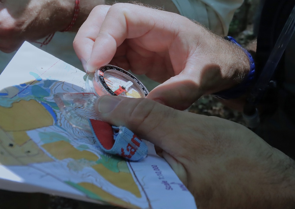
A competitor uses a magnetic compass over a topographical map to calculate bearings during orienteering training at Clayton Park in Upper Freehold, New Jersey, June 26, 2026. The orienteering phase of the international competition requires teams to navigate unfamiliar terrain while completing range-estimation and map-reading tasks on foot. (U.S. Army photo by Steven Roussel)
| Date Taken: | 06.25.2026 |
| Date Posted: | 08.14.2026 16:01 |
| Photo ID: | 9862616 |
| VIRIN: | 260621-A-SD662-8761 |
| Resolution: | 4801x3409 |
| Size: | 2.27 MB |
| Location: | FORT DIX, NEW JERSEY, US |
| Web Views: | 3 |
| Downloads: | 0 |

This work, U.S. CIOR MILITARY COMPETITION TEAM ORIENTEERING TRAINING AT JB MDL [Image 15 of 15], by Steven Roussel, identified by DVIDS, must comply with the restrictions shown on https://www.dvidshub.net/about/copyright.


No keywords found.





